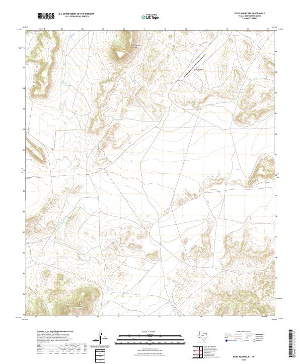
2022 Map of Dove Mountain
USGS Topo · Published 2022About this map
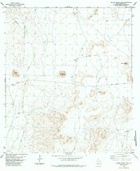
High desert elevations and ranching infrastructure define this Brewster County landscape, dominated by the prominent rise of Dove Mtn in the south and the dramatic landform of Horseshoe Mesa to the north. Drainage for the region follows the seasonal path of Guayule Cr, which winds through the central valley. The map reveals the essential role of water management in this arid environment, marked by named catchments like Stevenson Tank and Crenshaw Tank. Human activity is sparse and specialized, centered on the Stovall Ranch Number 4 Airport and the lonely stretch of Dove Mountain Rd. This layout illustrates the vast scale of modern West Texas landholdings where aviation and private water engineering are vital for traversing and maintaining large-acreage ranch operations.
Find a feature on this map
7 named features on this map. Tap any name to fly to it.
Don’t see what you’re looking for? This feature index may not catch every label — zoom into the map to look around manually.
Map Details
Editions of this 2022 Dove Mountain Map
This is the sole edition of this map. No revisions or reprints were ever made.
Other maps of this area

1918 · Reagan Canyon
USGS Topo · 1:62,500

1918 · Dove Mountain
USGS Topo · 1:62,500

1918 · Bullis Gap
USGS Topo · 1:62,500

1919 · Maravillas Canyon
USGS Topo · 1:62,500

1959 · Emory Peak
USGS Topo · 1:250,000

1965 · Emory Peak
USGS Topo · 1:250,000
1983 · San Francisco Shutups
USGS Topo · 1:24,000
1983 · Pine Mountain East
USGS Topo · 1:24,000
1983 · Beef Gap
USGS Topo · 1:24,000
1983 · Yellow House Peak
USGS Topo · 1:24,000