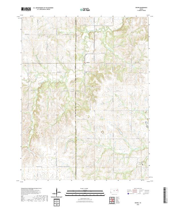
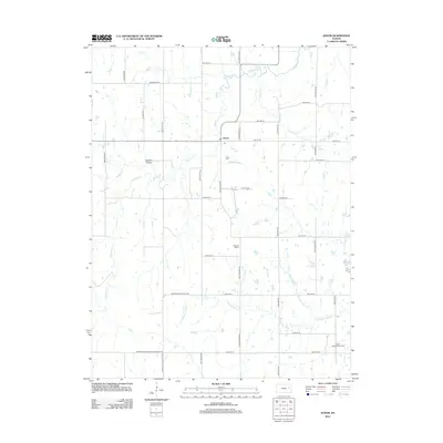
2022 Map of Dover
USGS Topo · Published 2022About this map
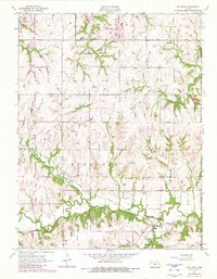
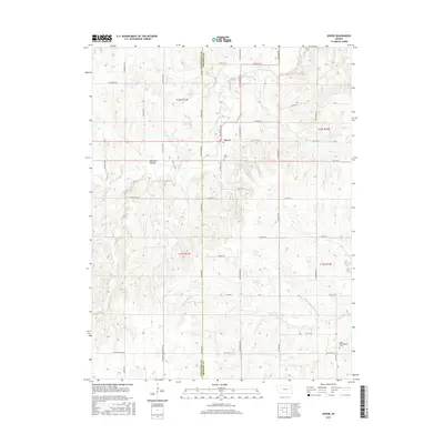
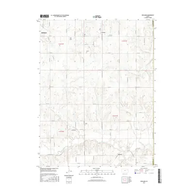
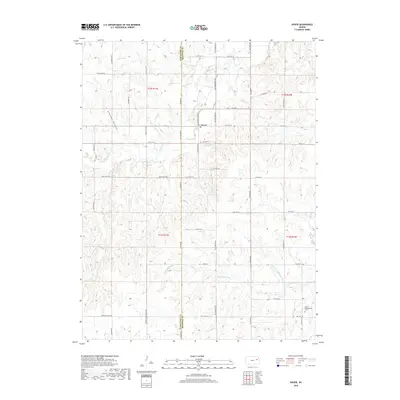
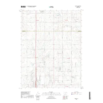
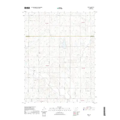
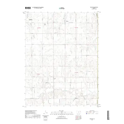
Dover serves as the central hub of this prairie landscape, situated near the intersection of SW Douglas Rd and SW 57th St. The area's topography is defined by the branching drainages of the Wakarusa River and its tributaries, including the Middle Br Wakarusa River and Mission Creek. These waterways carve through the terrain, creating features like Gladden Ravine and directing the placement of local thoroughfares. For those researching family history, the map identifies the Dover Cem just south of the settlement and the Saint Bartholomew Cem further south near the river valley. The road network follows a strict grid typical of the region, yet yields to the natural flow of Massasoit Cr and Haskell Cr, reflecting how the environment influenced early development and land use along the Wabaunsee and Shawnee county line.
Find a feature on this map
47 named features on this map. Tap any name to fly to it.
Don’t see what you’re looking for? This feature index may not catch every label — zoom into the map to look around manually.
Map Details
Editions of this 2022 Dover Map
This is the sole edition of this map. No revisions or reprints were ever made.
Historical Maps of Dover Through Time
24 maps found
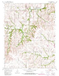
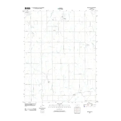
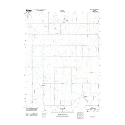
1952 Dover
Shawnee County, KS
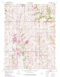
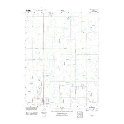
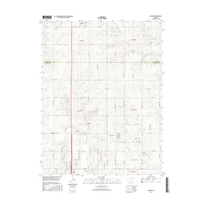
1952 Elmont
Shawnee County, KS
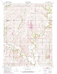
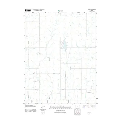
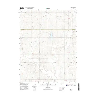
1952 Grove
Shawnee County, KS
1955 Richland
Shawnee County, KS
2009 Dover
Shawnee County, KS
2009 Elmont
Shawnee County, KS
2009 Grove
Shawnee County, KS
2009 Richland
Shawnee County, KS
2012 Dover
Shawnee County, KS
2012 Elmont
Shawnee County, KS
2012 Grove
Shawnee County, KS
2012 Richland
Shawnee County, KS
2015 Dover
Shawnee County, KS
2015 Elmont
Shawnee County, KS
2015 Grove
Shawnee County, KS
2015 Richland
Shawnee County, KS
2018 Dover
Shawnee County, KS
2018 Elmont
Shawnee County, KS
2018 Grove
Shawnee County, KS
2018 Richland
Shawnee County, KS
2022 Dover
Shawnee County, KS
2022 Elmont
Shawnee County, KS
2022 Grove
Shawnee County, KS
2022 Richland
Shawnee County, KS