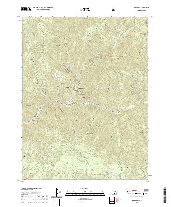
2021 Map of Downieville
USGS Topo · Published 2021About this map
Downieville serves as the focal point of this Sierra County survey, situated at the confluence of the Downie River and the North Yuba River. As the county seat, it contains the Sierra County Courthouse and sits surrounded by the gold-mining heritage of the northern Tahoe National Forest. The landscape is defined by steep ridges and narrow flats along the waterways, where names like Jersey Flat, Durgan Flat, and Zumwalt Flat indicate historical settlement patterns near the rivers.
Find a feature on this map
86 named features on this map. Tap any name to fly to it.
Don’t see what you’re looking for? This feature index may not catch every label — zoom into the map to look around manually.
Map Details
Editions of this 2021 Downieville Map
This is the sole edition of this map. No revisions or reprints were ever made.
Other maps of this area

1891 · Downieville
USGS Topo · 1:125,000

1891 · Colfax
USGS Topo · 1:125,000

1892 · Colfax
USGS Topo · 1:125,000

1893 · Downieville
USGS Topo · 1:125,000

1894 · Colfax
USGS Topo · 1:125,000

1895 · Downieville
USGS Topo · 1:125,000

1896 · Downieville
USGS Topo · 1:125,000

1897 · Downieville
USGS Topo · 1:125,000

1898 · Colfax
USGS Topo · 1:125,000

1900 · Colfax
USGS Topo · 1:125,000