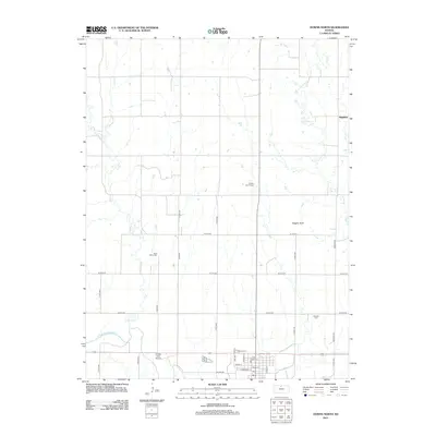
2012 Map of Downs North
USGS Topo · Published 2012About this map
The N Fork Solomon River defines the southern edge of this landscape in Osborne County, where the plains of north-central Kansas meet a network of creek drainages. Small rural burial grounds such as Rose Valley Cem, Downs Cem, and Oakdale Cem are scattered across the terrain, serving as vital markers for local genealogical research. The settlement of Dispatch sits in the northeast corner near the meandering path of Oak Cr, while the southern town grid is organized around streets like Railroad St and Delay St. Land use in this area is a mix of aviation and recreation, featuring the Griffith Field Airport and the Downs Golf Course. Prominent natural features like Higgins Bluff rise above the agricultural grid, which is primarily defined by a system of numbered avenues and drives including S 70th Ave and W 20th Dr.
Find a feature on this map
32 named features on this map. Tap any name to fly to it.
Don’t see what you’re looking for? This feature index may not catch every label — zoom into the map to look around manually.
Map Details
Editions of this 2012 Downs North Map
This is the sole edition of this map. No revisions or reprints were ever made.
Other maps of this area

1893 · Smith Center
USGS Topo · 1:125,000

1894 · Mankato
USGS Topo · 1:125,000

1894 · Beloit
USGS Topo · 1:125,000

1896 · Osborne
USGS Topo · 1:125,000

1953 · Downs South
USGS Topo · 1:24,000

1953 · Waconda Springs
USGS Topo · 1:24,000

1953 · Osborne
USGS Topo · 1:24,000

1955 · Beloit
USGS Topo · 1:250,000

1959 · Beloit
USGS Topo · 1:250,000

1960 · Downs North
USGS Topo · 1:24,000