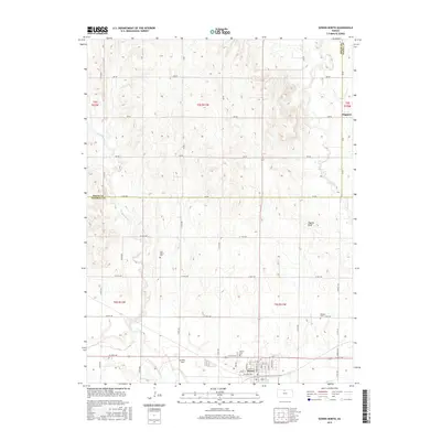
2015 Map of Downs North
USGS Topo · Published 2015About this map
The North Fork Solomon River defines the southern reaches of this landscape near the border of Osborne and Smith counties. Just north of the river, the town of Downs serves as the primary settlement, featuring a grid of residential streets and local landmarks such as Griffith Field. The surrounding countryside is characterized by a high density of rural cemetery sites, including Rose Valley Cem, Downs Cem, and Oakdale Cem, which offer significant value for genealogical research in this part of Kansas. Further north, the terrain rises toward Higgins Bluff, overlooking the drainages of Twelvemile Cr and Oak Cr. The small community of Dispatch sits near the eastern edge of the survey, illustrating the persistence of small agricultural hamlets within the sprawling section-line road network that organizes the region's farms and ranches.
Find a feature on this map
57 named features on this map. Tap any name to fly to it.
Don’t see what you’re looking for? This feature index may not catch every label — zoom into the map to look around manually.
Map Details
Editions of this 2015 Downs North Map
This is the sole edition of this map. No revisions or reprints were ever made.
Other maps of this area

1893 · Smith Center
USGS Topo · 1:125,000

1894 · Mankato
USGS Topo · 1:125,000

1894 · Beloit
USGS Topo · 1:125,000

1896 · Osborne
USGS Topo · 1:125,000

1953 · Downs South
USGS Topo · 1:24,000

1953 · Waconda Springs
USGS Topo · 1:24,000

1953 · Osborne
USGS Topo · 1:24,000

1955 · Beloit
USGS Topo · 1:250,000

1959 · Beloit
USGS Topo · 1:250,000

1960 · Downs North
USGS Topo · 1:24,000