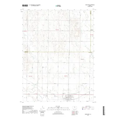
2018 Map of Downs North
USGS Topo · Published 2018About this map
Downs anchors the southern edge of this Osborne County landscape, situated along the North Fork Solomon River. The map reveals a rural expanse defined by a grid of section roads like Lo RD 867 and Y RD, which connect small communities and family-named landmarks. Near the town center, Griffith Field and Downs Cem provide local reference points for genealogists and researchers. To the north, the small settlement of Dispatch sits on the border with Smith and Jewell counties, surrounded by the drainage basins of Twelvemile Cr and Oak Cr. The topography is punctuated by Higgins Bluff, while historic burial grounds like Rose Valley Cem and Oakdale Cem are scattered across the townships, reflecting the established rural settlement patterns in this part of Kansas.
Find a feature on this map
60 named features on this map. Tap any name to fly to it.
Don’t see what you’re looking for? This feature index may not catch every label — zoom into the map to look around manually.
Map Details
Editions of this 2018 Downs North Map
This is the sole edition of this map. No revisions or reprints were ever made.
Other maps of this area

1893 · Smith Center
USGS Topo · 1:125,000

1894 · Mankato
USGS Topo · 1:125,000

1894 · Beloit
USGS Topo · 1:125,000

1896 · Osborne
USGS Topo · 1:125,000

1953 · Downs South
USGS Topo · 1:24,000

1953 · Waconda Springs
USGS Topo · 1:24,000

1953 · Osborne
USGS Topo · 1:24,000

1955 · Beloit
USGS Topo · 1:250,000

1959 · Beloit
USGS Topo · 1:250,000

1960 · Downs North
USGS Topo · 1:24,000