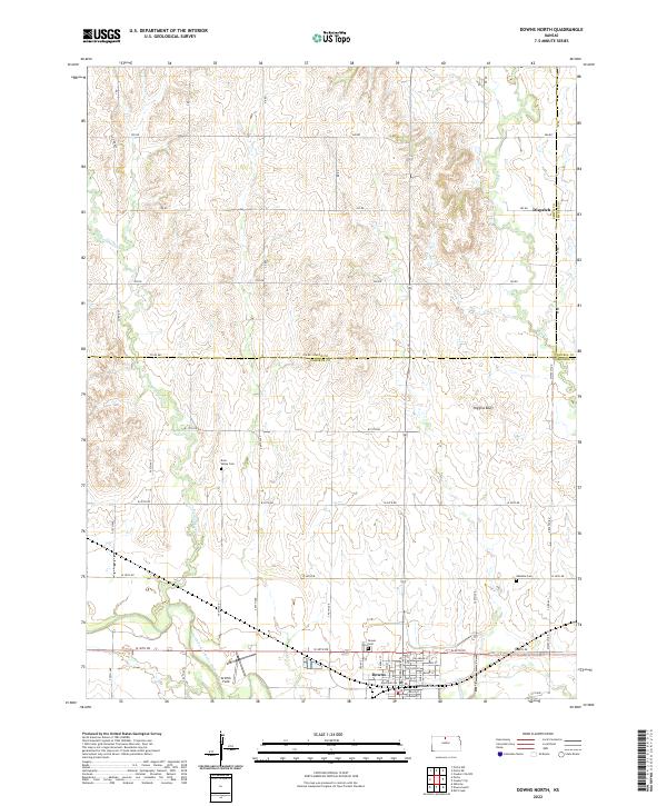
2022 Map of Downs North
USGS Topo · Published 2022About this map
The North Fork Solomon River defines the southern reach of this landscape, where the settlement of Downs sits at a crossroads of river and rail. The town's grid is detailed with streets such as Delaware St, Ross St, and Division St near Griffith Field. Northward, the terrain transitions into a network of rolling hills and creek drainages, including Twelvemile Cr and Oak Cr, which lead toward the small community of Dispatch near the Smith-Jewell county line.
Find a feature on this map
50 named features on this map. Tap any name to fly to it.
Don’t see what you’re looking for? This feature index may not catch every label — zoom into the map to look around manually.
Map Details
Editions of this 2022 Downs North Map
This is the sole edition of this map. No revisions or reprints were ever made.
Other maps of this area

1893 · Smith Center
USGS Topo · 1:125,000

1894 · Mankato
USGS Topo · 1:125,000

1894 · Beloit
USGS Topo · 1:125,000

1896 · Osborne
USGS Topo · 1:125,000

1953 · Downs South
USGS Topo · 1:24,000

1953 · Waconda Springs
USGS Topo · 1:24,000

1953 · Osborne
USGS Topo · 1:24,000

1955 · Beloit
USGS Topo · 1:250,000

1959 · Beloit
USGS Topo · 1:250,000

1960 · Downs North
USGS Topo · 1:24,000