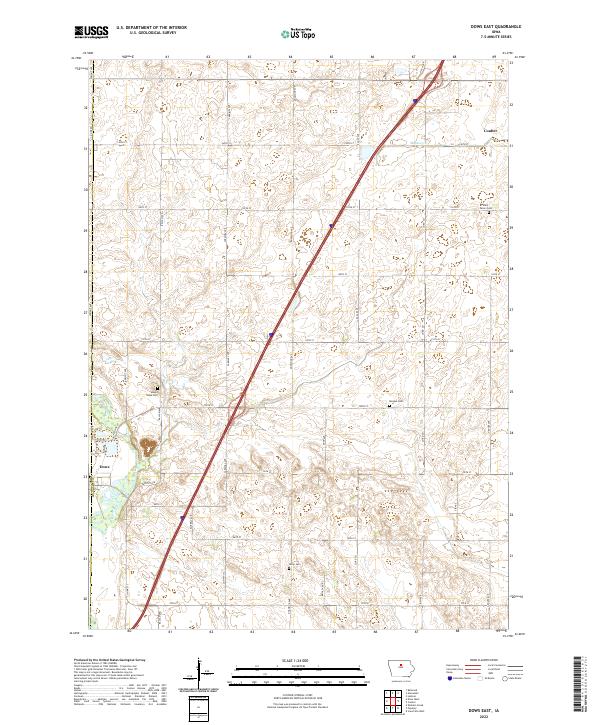
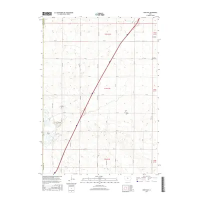
2022 Map of Dows East
USGS Topo · Published 2022About this map
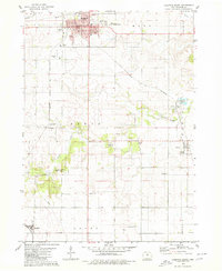
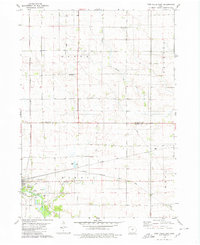
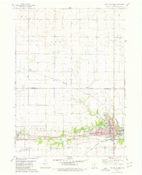
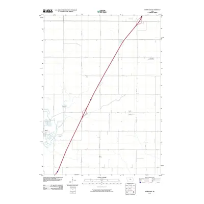
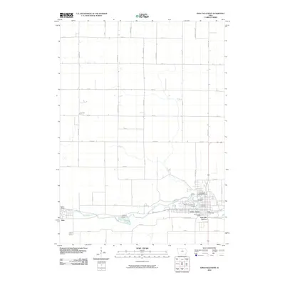
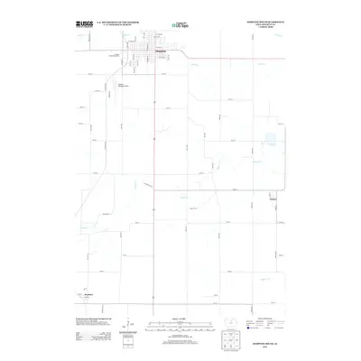
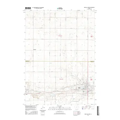
The Iowa River cuts through the southwestern corner of this Franklin County landscape, where the town of Dows serves as a primary local hub. The terrain is defined by a grid-like network of rural roads such as 100th Street and Dogwood Avenue, reflecting the systematic agricultural development of the Iowa plains. To the northeast, the settlement of Coulter sits near the headwaters of Maynes Creek, illustrating the scattered nature of township centers in this region. Several small burial grounds, including Saint Peters Cemetery and Mount Hope Cemetery, are preserved throughout the township sections. These sites, along with Morgan Cemetery and Olson Cemetery, provide significant points of interest for genealogists tracing local family histories within the townships of t91n r22w and t92n r22w.
Find a feature on this map
41 named features on this map. Tap any name to fly to it.
Don’t see what you’re looking for? This feature index may not catch every label — zoom into the map to look around manually.
Map Details
Editions of this 2022 Dows East Map
This is the sole edition of this map. No revisions or reprints were ever made.
Historical Maps of Dows Through Time
36 maps found
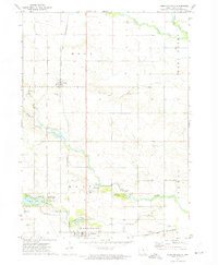
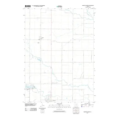
1972 Hampton North
Franklin County, IA
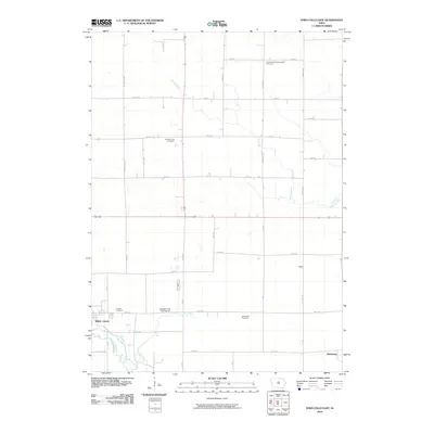
1979 Ackley NE
Franklin County, IA
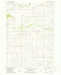
1979 Dows East
Franklin County, IA
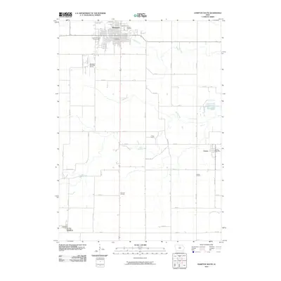
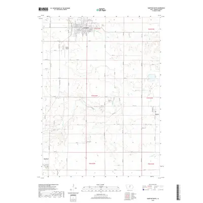
1979 Hampton South
Franklin County, IA
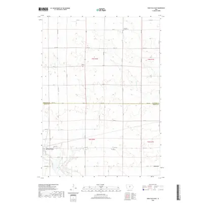
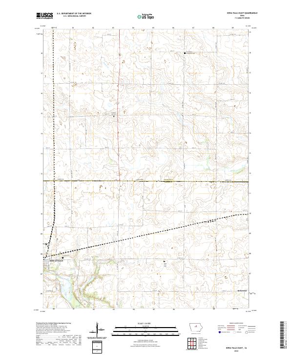
1979 Iowa Falls East
Franklin County, IA
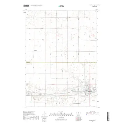
1979 Iowa Falls West
Franklin County, IA
2010 Ackley NE
Franklin County, IA
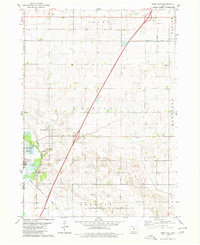
2010 Dows East
Franklin County, IA
2010 Hampton North
Franklin County, IA
2010 Hampton South
Franklin County, IA
2010 Iowa Falls East
Franklin County, IA
2010 Iowa Falls West
Franklin County, IA
2013 Ackley NE
Franklin County, IA
2013 Dows East
Franklin County, IA
2013 Hampton North
Franklin County, IA
2013 Hampton South
Franklin County, IA
2013 Iowa Falls East
Franklin County, IA
2013 Iowa Falls West
Franklin County, IA
2015 Ackley NE
Franklin County, IA
2015 Dows East
Franklin County, IA
2015 Hampton North
Franklin County, IA
2015 Hampton South
Franklin County, IA
2015 Iowa Falls East
Franklin County, IA
2015 Iowa Falls West
Franklin County, IA
2018 Ackley NE
Franklin County, IA
2018 Dows East
Franklin County, IA
2018 Hampton North
Franklin County, IA
2018 Hampton South
Franklin County, IA
2018 Iowa Falls East
Franklin County, IA
2018 Iowa Falls West
Franklin County, IA
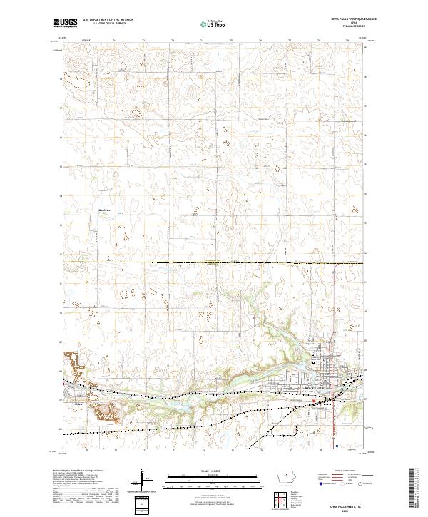
2022 Dows East
Franklin County, IA
2022 Iowa Falls East
Franklin County, IA
2022 Iowa Falls West
Franklin County, IA
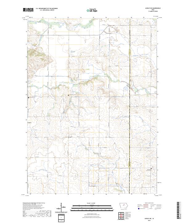
2023 Ackley NE
Franklin County, IA
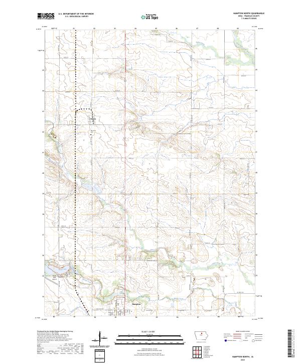
2023 Hampton North
Franklin County, IA
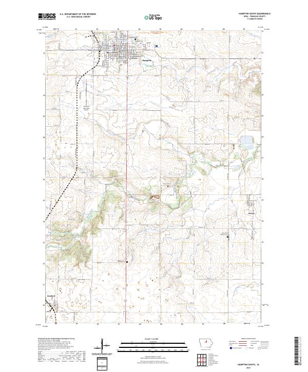
2023 Hampton South
Franklin County, IA