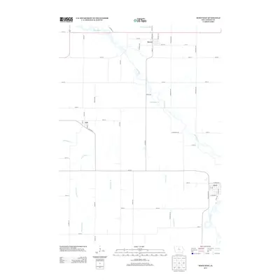
2013 Map of Dows West
USGS Topo · Published 2013About this map
The Iowa River meanders through this agricultural landscape in Wright County, anchoring a drainage network defined by early engineering projects like Ditch Number 140 and Ditch Number 213. The area's development is centered on the small rail-oriented communities of Rowan, Galt, and the western edge of Dows. These settlements are linked by a strict grid of section roads and a visible transportation legacy along Railroad St in Galt.
Find a feature on this map
51 named features on this map. Tap any name to fly to it.
Don’t see what you’re looking for? This feature index may not catch every label — zoom into the map to look around manually.
Map Details
Editions of this 2013 Dows West Map
This is the sole edition of this map. No revisions or reprints were ever made.
Other maps of this area

1954 · Waterloo
USGS Topo · 1:250,000

1955 · Waterloo
USGS Topo · 1:250,000

1972 · Cornelia
USGS Topo · 1:24,000

1972 · Alexander
USGS Topo · 1:24,000

1972 · Belmond
USGS Topo · 1:24,000

1978 · Clarion
USGS Topo · 1:24,000

1978 · Sheldon Creek
USGS Topo · 1:24,000

1978 · Dows West
USGS Topo · 1:24,000

1978 · Clarion SW
USGS Topo · 1:24,000

1979 · Dows East
USGS Topo · 1:24,000