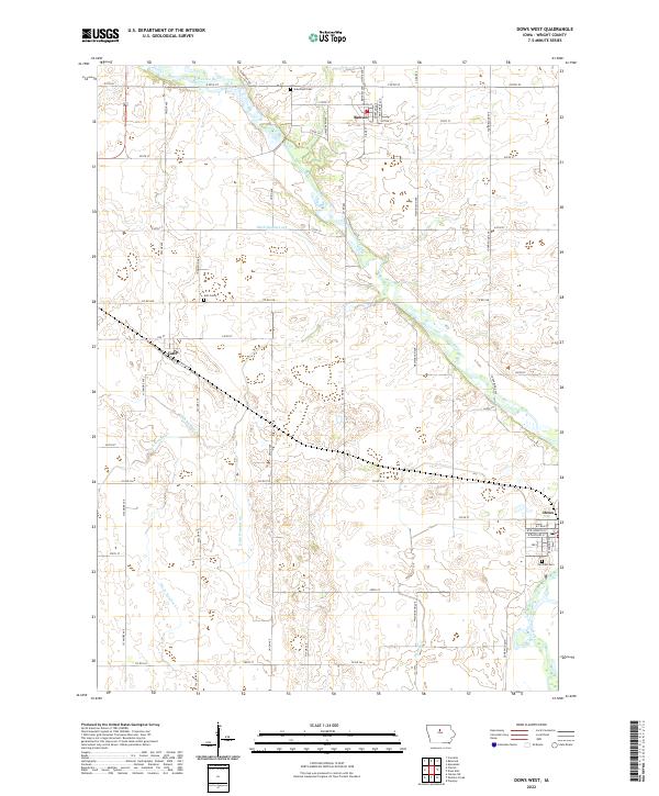
2022 Map of Dows West
USGS Topo · Published 2022About this map
The Iowa River meanders through the eastern portions of Wright County, defining a landscape shaped by both natural waterways and a complex network of man-made drainage. In this 2022 survey, the rural character of the region is anchored by the small communities of Rowan, Galt, and Dows. These settlements serve as focal points for the surrounding agricultural plains, connected by a rigid grid of county roads and avenues such as Co Rd C48 and Youngblood Ave. The intricate water management system is evident in the numerous numbered channels, including Ditch Number 213, Ditch Number 5, and Ditch Number 187, which crisscross the territory to support the local economy. Historical continuity is maintained through preserved sites like Graceland Cem, Galt Cem, and Fairview Cem, while the presence of a Post Office in Rowan highlights its continued role as a local service hub for the township.
Find a feature on this map
45 named features on this map. Tap any name to fly to it.
Don’t see what you’re looking for? This feature index may not catch every label — zoom into the map to look around manually.
Map Details
Editions of this 2022 Dows West Map
This is the sole edition of this map. No revisions or reprints were ever made.
Other maps of this area

1954 · Waterloo
USGS Topo · 1:250,000

1955 · Waterloo
USGS Topo · 1:250,000

1972 · Cornelia
USGS Topo · 1:24,000

1972 · Alexander
USGS Topo · 1:24,000

1972 · Belmond
USGS Topo · 1:24,000

1978 · Clarion
USGS Topo · 1:24,000

1978 · Sheldon Creek
USGS Topo · 1:24,000

1978 · Dows West
USGS Topo · 1:24,000

1978 · Clarion SW
USGS Topo · 1:24,000

1979 · Dows East
USGS Topo · 1:24,000