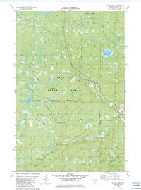
1982 Map of Doyle Lake
USGS Topo · Published 1983About this map
Finland stands as the primary settlement within this northern landscape, situated near the confluence of the West Branch Baptism River and the main Baptism River. This 1982 survey illustrates a region heavily defined by timber and recreation, where the Finland State Forest and Superior National Forest overlap. A notable historical trace is the Old Railroad Grade in the southeastern corner, reflecting the area's industrial past before it transitioned toward the conservation and leisure use seen in Tettegouche State Park. The drainage network is complex, with Doyle Lake feeding the East Branch Baptism River, while numerous smaller streams like Hockamin Creek, Nicado Creek, and Heffelfinger Creek carve through the terrain. The presence of the Moosewalk Snowmobile Trail and North Shore Snowmobile Trail underscores the importance of winter recreation in this part of Beaver Bay township.
Find a feature on this map
21 named features on this map. Tap any name to fly to it.
Don’t see what you’re looking for? This feature index may not catch every label — zoom into the map to look around manually.
Map Details
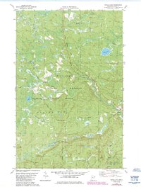
Editions of this 1982 Doyle Lake Map
2 editions found
Other maps of this area

1954 · Silver Bay
USGS Topo · 1:62,500

1954 · Two Harbors
USGS Topo · 1:250,000

1955 · Isabella
USGS Topo · 1:62,500

1955 · Cramer
USGS Topo · 1:62,500

1956 · Finland
USGS Topo · 1:24,000

1956 · Finland
USGS Topo · 1:62,500

1956 · Illgen City
USGS Topo · 1:24,000

1957 · Two Harbors
USGS Topo · 1:250,000

1958 · Two Harbors
USGS Topo · 1:250,000

1964 · Two Harbors
USGS Topo · 1:250,000