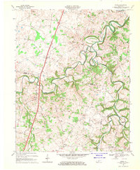
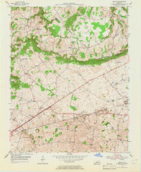
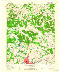
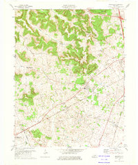
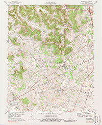
1968 Map of Drake
USGS Topo · Published 1969This historical map portrays the area of Drake in 1968, primarily covering Warren County as well as portions of Allen County and Simpson County. Featuring a scale of 1:24000, this map provides a highly detailed snapshot of the terrain, roads, buildings, counties, and historical landmarks in the Drake region at the time. Published in 1969, it is one of 2 known editions of this map due to revisions or reprints.
Find a feature on this map
48 named features on this map. Tap any name to fly to it.
Don’t see what you’re looking for? This feature index may not catch every label — zoom into the map to look around manually.
Map Details
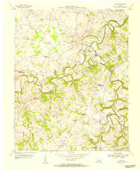
Editions of this 1968 Drake Map
2 editions found
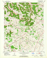
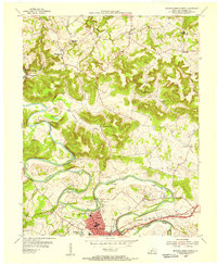
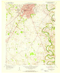
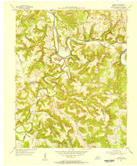
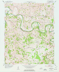
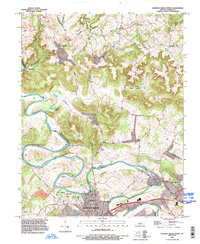
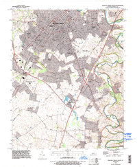
Historical Maps of Drake Through Time
20 maps found
1952 Rockfield
Warren County, KY
1954 Bowling Green North
Warren County, KY
1954 Bowling Green South
Warren County, KY
1954 Bristow
Warren County, KY
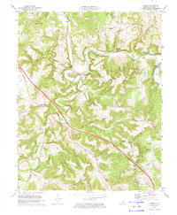
1954 Drake
Warren County, KY
1954 Hadley
Warren County, KY

1954 Meador
Warren County, KY
1954 Polkville
Warren County, KY
1959 Bowling Green North
Warren County, KY
1959 Bowling Green South
Warren County, KY
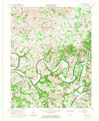
1965 Bristow
Warren County, KY
1965 Meador
Warren County, KY
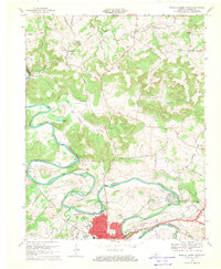
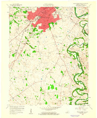
1968 Bowling Green North
Warren County, KY
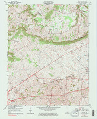
1968 Bowling Green South
Warren County, KY
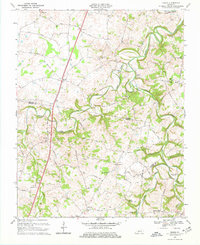
1968 Drake
Warren County, KY
1973 Hadley
Warren County, KY
1973 Rockfield
Warren County, KY
1979 Rockfield
Warren County, KY
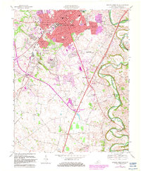
1993 Bowling Green North
Warren County, KY
1993 Bowling Green South
Warren County, KY