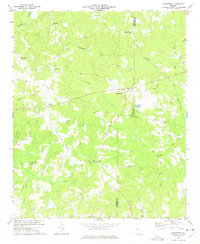
1973 Map of Draketown
USGS Topo · Published 1975About this map
The Tallapoosa River flows through the northern reaches of this rural landscape, which sits at the convergence of Haralson, Carroll, and Paulding counties. In the early 1970s, this area remained largely defined by its network of country churches and small family cemeteries, centered around the community of Draketown. The map reveals a land structured by small-scale agriculture and natural drainage, with Panther Mill Creek and Brooks Creek carving through the terrain towards the larger river system.
Find a feature on this map
38 named features on this map. Tap any name to fly to it.
Don’t see what you’re looking for? This feature index may not catch every label — zoom into the map to look around manually.
Map Details
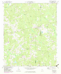
Editions of this 1973 Draketown Map
2 editions found
Other maps of this area

1889 · Tallapoosa
USGS Topo · 1:125,000

1891 · Marietta
USGS Topo · 1:125,000

1892 · Tallapoosa
USGS Topo · 1:125,000

1895 · Marietta
USGS Topo · 1:125,000

1897 · Marietta
USGS Topo · 1:125,000

1897 · Tallapoosa
USGS Topo · 1:125,000

1901 · Marietta
USGS Topo · 1:125,000

1953 · Atlanta
USGS Topo · 1:250,000

1957 · Atlanta
USGS Topo · 1:250,000

1958 · Atlanta
USGS Topo · 1:250,000