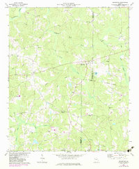
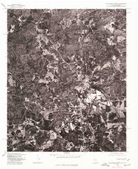
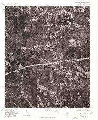
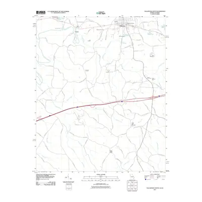
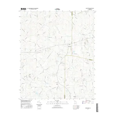
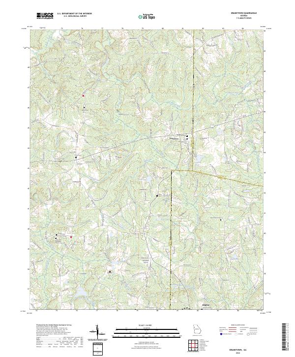
1973 Map of Draketown
USGS Topo · Published 1983About this map
The Tallapoosa River and its numerous tributaries, including Brooks Creek and Mill Creek, define the landscape of this rural Georgia district in the early 1970s. This survey captures a region deeply rooted in its local congregations and community burial grounds, illustrating the social geography at the intersection of Haralson, Paulding, and Carroll counties. Notable landmarks include the Draketown settlement and the northern portion of Temple, alongside an extensive network of country churches such as Corinth Ch, Edgefield Ch, and Pleasant Grove Ch.
Find a feature on this map
42 named features on this map. Tap any name to fly to it.
Don’t see what you’re looking for? This feature index may not catch every label — zoom into the map to look around manually.
Map Details
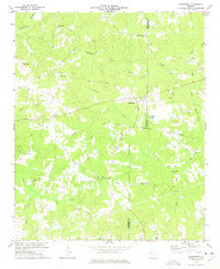
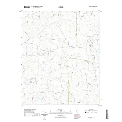
Editions of this 1973 Draketown Map
2 editions found
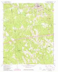
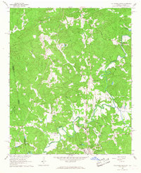
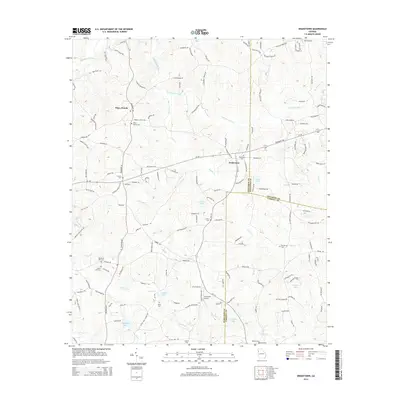
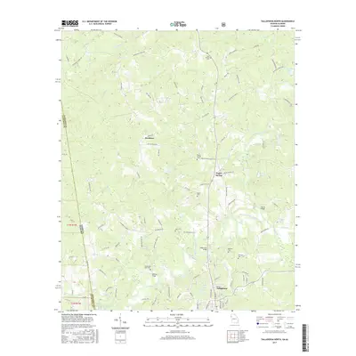
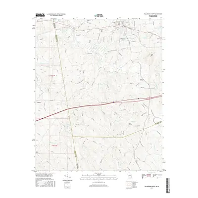
Historical Maps of Temple Through Time
20 maps found
1965 Tallapoosa South
Haralson County, GA
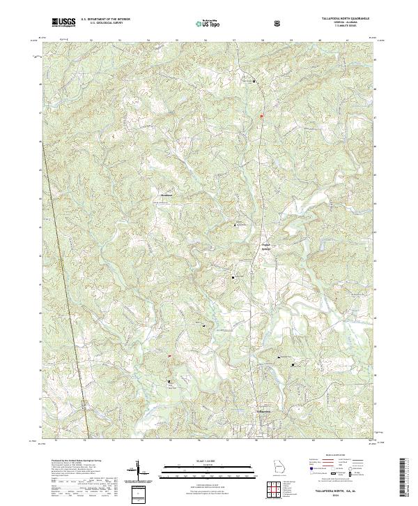
1966 Tallapoosa North
Haralson County, GA
1973 Draketown
Haralson County, GA
1975 Tallapoosa North
Haralson County, GA
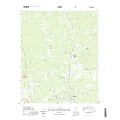
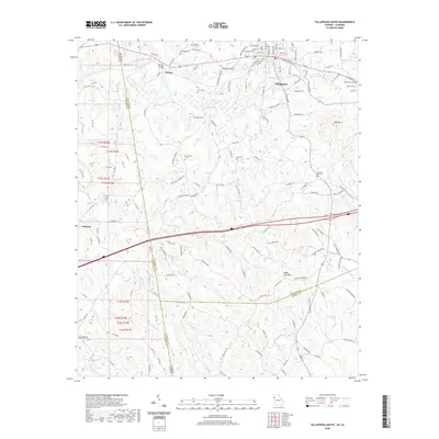
1975 Tallapoosa South
Haralson County, GA
2011 Draketown
Haralson County, GA
2011 Tallapoosa North
Haralson County, GA
2011 Tallapoosa South
Haralson County, GA
2014 Draketown
Haralson County, GA
2014 Tallapoosa North
Haralson County, GA
2014 Tallapoosa South
Haralson County, GA
2017 Draketown
Haralson County, GA
2017 Tallapoosa North
Haralson County, GA
2017 Tallapoosa South
Haralson County, GA
2020 Draketown
Haralson County, GA
2020 Tallapoosa North
Haralson County, GA
2020 Tallapoosa South
Haralson County, GA
2024 Draketown
Haralson County, GA
2024 Tallapoosa North
Haralson County, GA
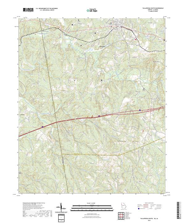
2024 Tallapoosa South
Haralson County, GA