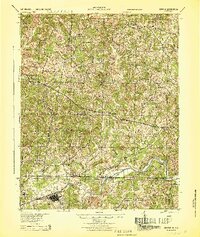
1944 Map of Draper
USGS Topo · Published 1944About this map
The Danville and Western Ry snakes across the landscape of the Virginia-North Carolina border, connecting the industrial nodes of Spray and Draper with the rural hinterlands of Pittsylvania and Henry Counties. This mid-century survey reveals a transition from the mill-oriented settlements along the Dan River to a dense network of upland farms and community centers. The distribution of schools like Leatherwood Sch and Vandola Sch, alongside numerous country churches such as New Design Ch and Anderson Chapel, illustrates the decentralized social fabric of the Piedmont before post-war urbanization consolidated these local institutions.
Find a feature on this map
79 named features on this map. Tap any name to fly to it.
Don’t see what you’re looking for? This feature index may not catch every label — zoom into the map to look around manually.
Map Details
Editions of this 1944 Draper Map
This is the sole edition of this map. No revisions or reprints were ever made.
Other maps of this area
1921 · Chatham
USGS Topo · 1:48,000
1922 · Callands
USGS Topo · 1:48,000
1923 · Danville
USGS Topo · 1:48,000
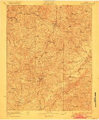
1923 · Chatham
USGS Topo · 1:62,500
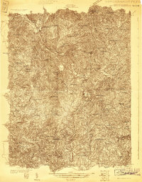
1924 · Martinsville
USGS Topo · 1:48,000
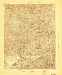
1924 · Draper
USGS Topo · 1:48,000
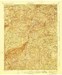
1924 · Callands
USGS Topo · 1:62,500
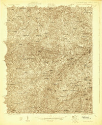
1925 · Rocky Mount
USGS Topo · 1:48,000
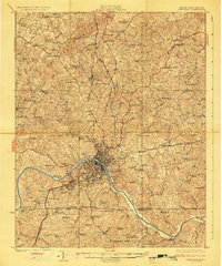
1925 · Danville
USGS Topo · 1:62,500
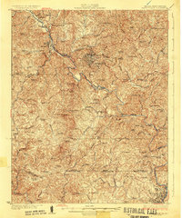
1926 · Martinsville
USGS Topo · 1:62,500