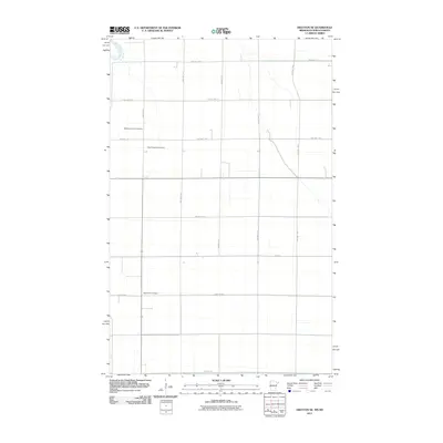
2011 Map of Drayton SE
USGS Topo · Published 2011About this map
The Red River of the North winds along the western edge of this landscape, defining the boundary and the drainage patterns for the surrounding farmland. This portion of the Red River Valley is characterized by a precise grid of township and county roads, reflecting the organized agricultural development of the region in the early 21st century. Notable local landmarks for genealogical research include several well-maintained burial grounds that serve the rural community, such as Skjeberg Lutheran Cemetery and Teien Covenant Cemetery. Further south, Eagle Point Cemetery sits near the intersection of 450th St NW and County Hwy-7. The infrastructure is dominated by numbered routes like County Hwy-23 and Csah 18, which facilitate the movement of goods across this fertile plains environment.
Find a feature on this map
21 named features on this map. Tap any name to fly to it.
Don’t see what you’re looking for? This feature index may not catch every label — zoom into the map to look around manually.
Map Details
Editions of this 2011 Drayton SE Map
This is the sole edition of this map. No revisions or reprints were ever made.
Other maps of this area

1918 · Acton
USGS Topo · 1:62,500

1918 · Argyle
USGS Topo · 1:62,500

1939 · Drayton
USGS Topo · 1:62,500

1939 · Kennedy
USGS Topo · 1:62,500

1941 · Kennedy
USGS Topo · 1:62,500

1941 · Drayton
USGS Topo · 1:62,500

1952 · Thief River Falls
USGS Topo · 1:250,000

1954 · Stephen
USGS Topo · 1:62,500

1956 · Thief River Falls
USGS Topo · 1:250,000

1957 · Thief River Falls
USGS Topo · 1:250,000