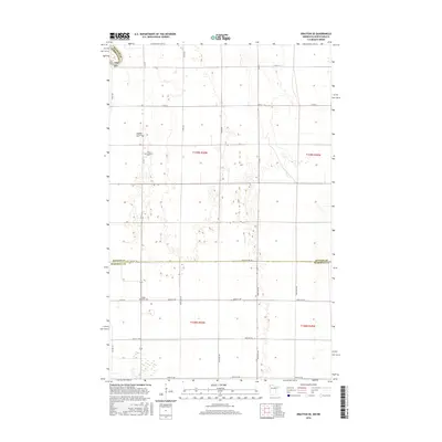
2016 Map of Drayton SE
USGS Topo · Published 2016About this map
The Red River Valley along the border of North Dakota and Minnesota is defined by its precise agrarian grid and scattered commemorative sites. This landscape, straddling Kittson Co, Marshall Co, and Pembina Co, preserves the spiritual and ancestral hubs of the early farming community through its rural cemeteries. The northern portion features the Skjeberg Lutheran Cem and Telen Covenant Cem, while Eagle Point Cem serves the southern reach near Co Rd 140. The infrastructure is primarily composed of county routes and straight section lines, such as Co St Aid Hwy-18 and Co Hwy 16, which cross the township lines of t159n r50w and t158n r50w. This area represents the enduring layout of the northern plains, where small churchyards remain the primary landmarks across the expansive agricultural fields.
Find a feature on this map
31 named features on this map. Tap any name to fly to it.
Don’t see what you’re looking for? This feature index may not catch every label — zoom into the map to look around manually.
Map Details
Editions of this 2016 Drayton SE Map
This is the sole edition of this map. No revisions or reprints were ever made.
Other maps of this area

1918 · Acton
USGS Topo · 1:62,500

1918 · Argyle
USGS Topo · 1:62,500

1939 · Drayton
USGS Topo · 1:62,500

1939 · Kennedy
USGS Topo · 1:62,500

1941 · Kennedy
USGS Topo · 1:62,500

1941 · Drayton
USGS Topo · 1:62,500

1952 · Thief River Falls
USGS Topo · 1:250,000

1954 · Stephen
USGS Topo · 1:62,500

1956 · Thief River Falls
USGS Topo · 1:250,000

1957 · Thief River Falls
USGS Topo · 1:250,000