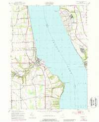
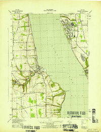
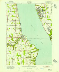
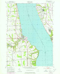
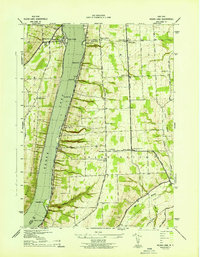
1943 Map of Dresden
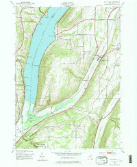
USGS Topo · Published 1988About this map
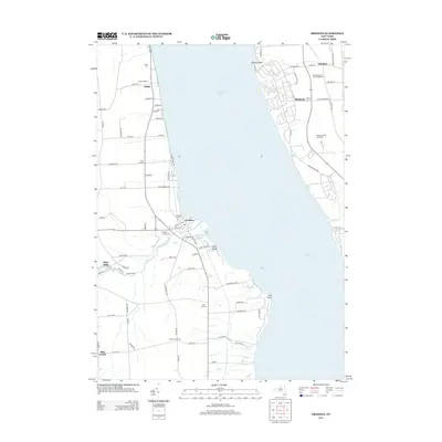
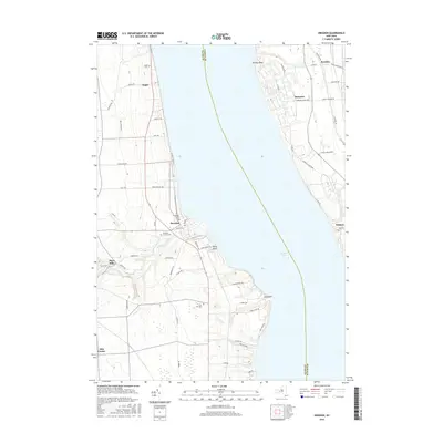
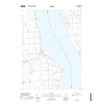
Seneca Lake anchors this mid-century portrait of the Finger Lakes region, where military expansion and industrial watercraft routes define the landscape. The eastern shore is dominated by the sprawling infrastructure of the Seneca Army Depot and Seneca Army Airfield, illustrating the intense federal activity during and after the war. South of the depot, the Willard State Hospital complex sits prominently near the shore.
Find a feature on this map
42 named features on this map. Tap any name to fly to it.
Don’t see what you’re looking for? This feature index may not catch every label — zoom into the map to look around manually.
Map Details
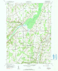
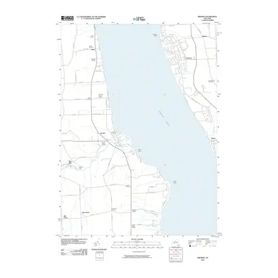
Editions of this 1943 Dresden Map
4 editions found
Historical Maps of Milo Through Time
19 maps found
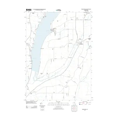
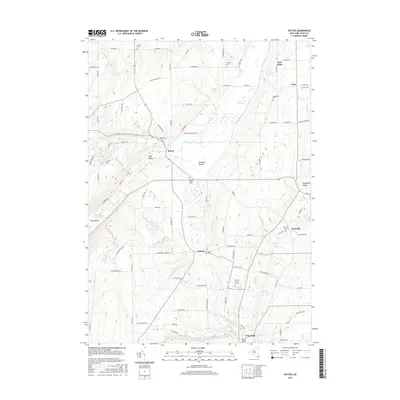
1942 Middlesex
Yates County, NY
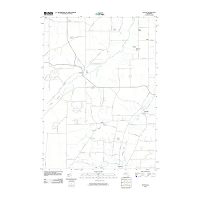
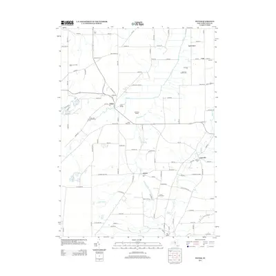
1942 Potter
Yates County, NY
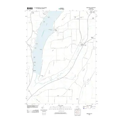
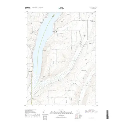
1943 Dresden
Yates County, NY
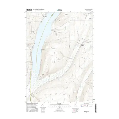
1943 Keuka Lake
Yates County, NY
2010 Dresden
Yates County, NY
2010 Middlesex
Yates County, NY
2010 Potter
Yates County, NY
2013 Dresden
Yates County, NY
2013 Middlesex
Yates County, NY
2013 Potter
Yates County, NY
2016 Dresden
Yates County, NY
2016 Middlesex
Yates County, NY
2016 Potter
Yates County, NY
2019 Dresden
Yates County, NY
2019 Middlesex
Yates County, NY
2019 Potter
Yates County, NY

2023 Dresden
Yates County, NY

2023 Middlesex
Yates County, NY

2023 Potter
Yates County, NY