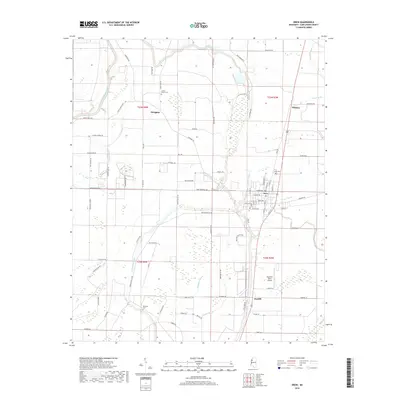
2018 Map of Drew
USGS Topo · Published 2018About this map
Drew and its surrounding agricultural lands in Sunflower County are defined by a complex network of slow-moving watercourses, including Lutken Bayou, Blackhawk Bayou, and the Big Sunflower River. The landscape is a testament to the Delta’s hydrologic engineering, with numerous irrigation channels and reservoirs such as Hoard Lake supporting the local farming economy. This survey documents the area's rural infrastructure, featuring several established burial grounds like Drew Cem, Marshall Cem, and Sandy Bayou Cem. Transportation and commerce are centered on the community of Drew, where a grid of streets intersects with arterial routes leading toward Dwiggins and Whitney. The presence of the Ruleville-Drew Airport south of town indicates the ongoing importance of regional connectivity, while smaller settlements like Jaquith anchor the southern reaches of the quadrangle.
Find a feature on this map
87 named features on this map. Tap any name to fly to it.
Don’t see what you’re looking for? This feature index may not catch every label — zoom into the map to look around manually.
Map Details
Editions of this 2018 Drew Map
This is the sole edition of this map. No revisions or reprints were ever made.
Other maps of this area

1931 · Schlater
USGS Topo · 1:48,000

1931 · Sumner
USGS Topo · 1:48,000

1931 · Drew
USGS Topo · 1:48,000

1934 · Cleveland
USGS Topo · 1:62,500

1934 · Schlater
USGS Topo · 1:62,500

1935 · Sumner
USGS Topo · 1:62,500

1935 · Mound Bayou
USGS Topo · 1:62,500

1939 · Schlater
USGS Topo · 1:62,500

1939 · Sumner
USGS Topo · 1:62,500

1940 · Cleveland
USGS Topo · 1:62,500