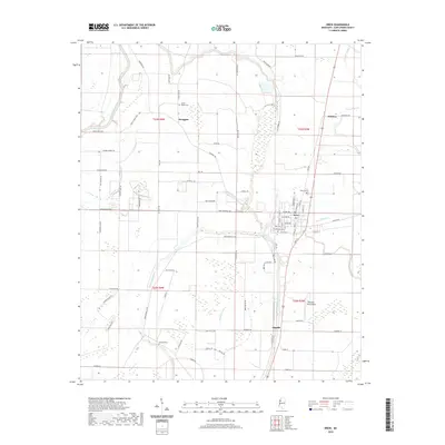
2020 Map of Drew
USGS Topo · Published 2020About this map
The Big Sunflower River winds through this section of Sunflower County, defining a landscape of agricultural drainage and small Delta communities. Centered on the city of Drew, the area is characterized by a dense network of bayous including Wild Bill Bayou, Powell Bayou, and Burrell Bayou. These waterways historically dictated the settlement patterns of the region, visible here in the placement of the town centers and the surrounding farmsteads.
Find a feature on this map
88 named features on this map. Tap any name to fly to it.
Don’t see what you’re looking for? This feature index may not catch every label — zoom into the map to look around manually.
Map Details
Editions of this 2020 Drew Map
This is the sole edition of this map. No revisions or reprints were ever made.
Other maps of this area

1931 · Schlater
USGS Topo · 1:48,000

1931 · Sumner
USGS Topo · 1:48,000

1931 · Drew
USGS Topo · 1:48,000

1934 · Cleveland
USGS Topo · 1:62,500

1934 · Schlater
USGS Topo · 1:62,500

1935 · Sumner
USGS Topo · 1:62,500

1935 · Mound Bayou
USGS Topo · 1:62,500

1939 · Schlater
USGS Topo · 1:62,500

1939 · Sumner
USGS Topo · 1:62,500

1940 · Cleveland
USGS Topo · 1:62,500