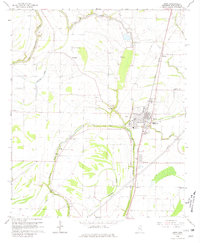
1966 Map of Drew
USGS Topo · Published 1981About this map
The town of Drew serves as the focal point of this mid-1960s Delta survey, situated at the intersection of the Illinois Central railroad and a network of bayous. The landscape is defined by its drainage and transport patterns, where the Big Sunflower River and Long Lake frame the fertile agricultural lands. The map captures a high density of rural social infrastructure, particularly churches and schools that served the local farming communities. Prominent institutions like Hunter High Sch and James Sch appear alongside numerous family and community landmarks such as Turner Chapel, Marshall Cem, and the Sandy Bayou Cem. Smaller settlements like Dwiggins and Whitney flank the rail line, illustrating the importance of the iron road to the local cotton economy before the widespread expansion of modern highways. This survey provides an essential view of Sunflower County as it appeared during a period of transition in the rural South.
Find a feature on this map
38 named features on this map. Tap any name to fly to it.
Don’t see what you’re looking for? This feature index may not catch every label — zoom into the map to look around manually.
Map Details
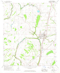
Editions of this 1966 Drew Map
2 editions found
Other maps of this area

1931 · Schlater
USGS Topo · 1:48,000

1931 · Sumner
USGS Topo · 1:48,000

1931 · Drew
USGS Topo · 1:48,000

1934 · Cleveland
USGS Topo · 1:62,500

1934 · Schlater
USGS Topo · 1:62,500

1935 · Sumner
USGS Topo · 1:62,500

1935 · Mound Bayou
USGS Topo · 1:62,500

1939 · Schlater
USGS Topo · 1:62,500

1939 · Sumner
USGS Topo · 1:62,500

1940 · Cleveland
USGS Topo · 1:62,500