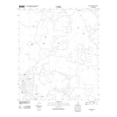
2010 Map of Driftwood
USGS Topo · Published 2010About this map
Wimberley and the residential community of Woodcreek anchor the southern portion of this landscape, where the rolling Texas Hill Country meets the winding course of Cypress Creek. This era of the late 2000s reflects a transition from traditional large-scale landholdings to more suburban and recreational development. A distinct pattern of legacy cattle operations is visible through named properties such as Storm Ranch, Newberry Ranch, and Nagel Brothers Ranch, while local recreation is centered on sites like the Blue Hole Campground and the Woodcreek Resort Airport.
Find a feature on this map
27 named features on this map. Tap any name to fly to it.
Don’t see what you’re looking for? This feature index may not catch every label — zoom into the map to look around manually.
Map Details
Editions of this 2010 Driftwood Map
This is the sole edition of this map. No revisions or reprints were ever made.
Other maps of this area

1887 · Blanco
USGS Topo · 1:125,000

1894 · Blanco
USGS Topo · 1:125,000

1896 · Austin
USGS Topo · 1:125,000

1897 · Austin
USGS Topo · 1:125,000

1910 · Austin
USGS Topo · 1:125,000

1911 · San Marcos
USGS Topo · 1:125,000

1919 · San Marcos
USGS Topo · 1:125,000

1929 · Hunter
USGS Topo · 1:62,500

1953 · Seguin
USGS Topo · 1:250,000

1954 · Llano
USGS Topo · 1:250,000