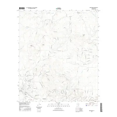
2016 Map of Driftwood
USGS Topo · Published 2016About this map
Wimberley and the residential community of Woodcreek anchor the southern portion of this landscape, situated at the confluence of several essential Hill Country waterways. The topographical character of the area is defined by prominent elevations like Joe Wimberley Mtn, Old Baldy, and the Little Twin Sister Peaks, which overlook the winding paths of Cypress Creek and Smith Creek. To the north, the small community of Driftwood sits near the upper reaches of Onion Creek, a region where the terrain levels out slightly as the water flows toward Chalk Bluff.
Find a feature on this map
126 named features on this map. Tap any name to fly to it.
Don’t see what you’re looking for? This feature index may not catch every label — zoom into the map to look around manually.
Map Details
Editions of this 2016 Driftwood Map
This is the sole edition of this map. No revisions or reprints were ever made.
Other maps of this area

1887 · Blanco
USGS Topo · 1:125,000

1894 · Blanco
USGS Topo · 1:125,000

1896 · Austin
USGS Topo · 1:125,000

1897 · Austin
USGS Topo · 1:125,000

1910 · Austin
USGS Topo · 1:125,000

1911 · San Marcos
USGS Topo · 1:125,000

1919 · San Marcos
USGS Topo · 1:125,000

1929 · Hunter
USGS Topo · 1:62,500

1953 · Seguin
USGS Topo · 1:250,000

1954 · Llano
USGS Topo · 1:250,000