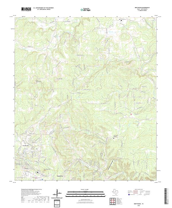
2022 Map of Driftwood
USGS Topo · Published 2022About this map
Lone Man Mtn and Lone Woman Mtn anchor this modern survey of the Texas Hill Country, reflecting a landscape defined by sharp limestone ridges and the complex drainage of the Onion Creek watershed. The map records the contemporary development of Wimberley and Woodcreek as they expand into the hills, showing a network of modern residential roads like Jacobs Well Rd and Avenida High View Rd. For those tracing local history, several important sites remain preserved amid the growth, including the Saint Stephens Episcopal Church Cem and the Driftwood Cem. The terrain is marked by distinctive local landmarks such as Old Baldy and the Skyline Ridge Lookout, while the aviation history of the area is represented by White Wings Airport. Numerous watercourses, from S Gatlin Cr to Yorks Cr, illustrate the seasonal hydrography that has shaped the ranching and settlement patterns of Hays County for generations.
Find a feature on this map
81 named features on this map. Tap any name to fly to it.
Don’t see what you’re looking for? This feature index may not catch every label — zoom into the map to look around manually.
Map Details
Editions of this 2022 Driftwood Map
This is the sole edition of this map. No revisions or reprints were ever made.
Other maps of this area

1887 · Blanco
USGS Topo · 1:125,000

1894 · Blanco
USGS Topo · 1:125,000

1896 · Austin
USGS Topo · 1:125,000

1897 · Austin
USGS Topo · 1:125,000

1910 · Austin
USGS Topo · 1:125,000

1911 · San Marcos
USGS Topo · 1:125,000

1919 · San Marcos
USGS Topo · 1:125,000

1929 · Hunter
USGS Topo · 1:62,500

1953 · Seguin
USGS Topo · 1:250,000

1954 · Llano
USGS Topo · 1:250,000