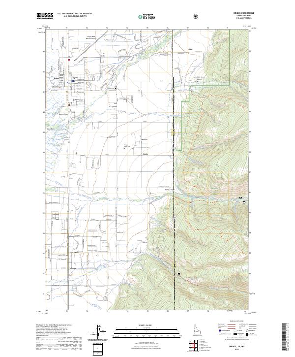
2023 Map of Driggs
USGS Topo · Published 2023About this map
Driggs serves as the focal point of this modern survey, situated in the fertile Teton Basin at the base of the mountains. The town center is anchored by the Teton County Courthouse and radiates out into a grid of residential and commercial streets such as Gem Stone Ave and Wallace Ave. The landscape to the west is heavily influenced by agriculture and water management, featuring the Cherry Grove Canal and the Kimball Canal that distribute water across the valley floor.
Find a feature on this map
123 named features on this map. Tap any name to fly to it.
Don’t see what you’re looking for? This feature index may not catch every label — zoom into the map to look around manually.
Map Details
Editions of this 2023 Driggs Map
This is the sole edition of this map. No revisions or reprints were ever made.
Other maps of this area

1899 · Grand Teton
USGS Topo · 1:125,000

1901 · Grand Teton
USGS Topo · 1:125,000
1943 · Driggs
USGS Topo · 1:62,500
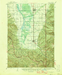
1946 · Driggs
USGS Topo · 1:62,500

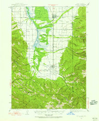
1955 · Driggs
USGS Topo · 1:250,000

1958 · Driggs
USGS Topo · 1:250,000

1962 · Driggs
USGS Topo · 1:250,000
1965 · Clawson
USGS Topo · 1:24,000
1965 · Tetonia
USGS Topo · 1:24,000
1968 · Granite Basin
USGS Topo · 1:24,000