Loading...
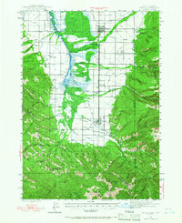
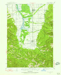
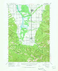
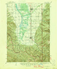
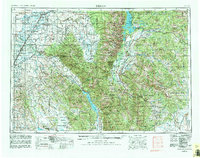
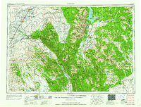
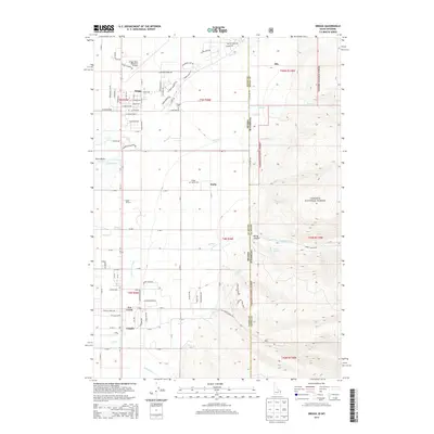
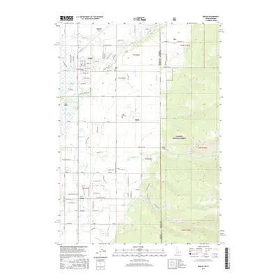
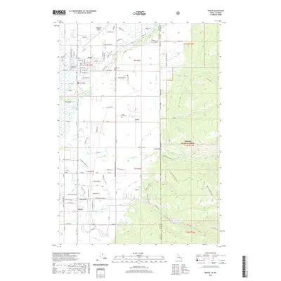
Loading map...1943 Map of Driggs
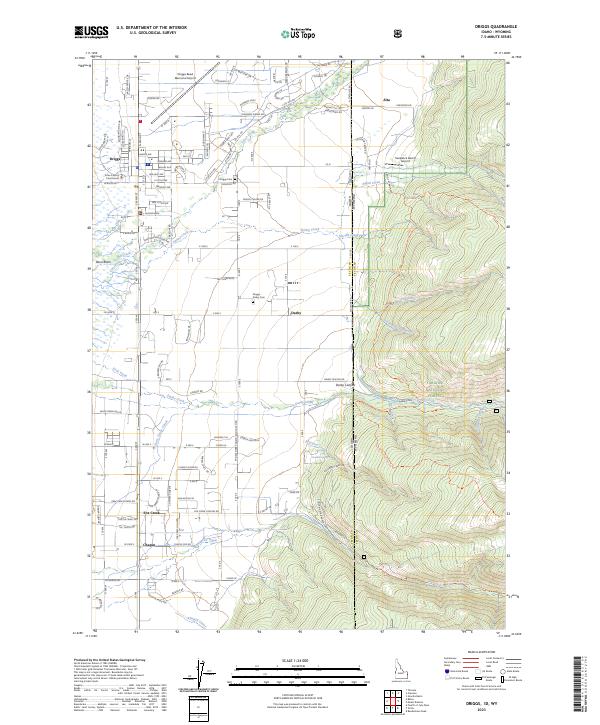
USGS Topo · Published 1966About this map
Driggs and Victor serve as the primary hubs in this high-altitude valley, where early mid-century agricultural life is defined by a complex irrigation network. Water management is a central theme, visible through a dense system of man-made waterways including Tonks Canal, Humble Canal, and Kearsley Canal, which divert resources from the Teton River and its mountain tributaries. These canals supported the rural communities that gathered at local institutions like Bates Sch and Darby Ch.
Find a feature on this map
72 named features on this map. Tap any name to fly to it.
Don’t see what you’re looking for? This feature index may not catch every label — zoom into the map to look around manually.
Map Details
Date Portrayed1943
Date Published1966
PublisherU.S. Geological Survey
Map TypeTopographic
Scale1:62,500
Physical Dimensions16.9 x 20.8 inches
Editions of this 1943 Driggs Map
3 editions found
Historical Maps of Victor Through Time
11 maps found

Featured Locations
Source Details
SourceU.S. Geological Survey
CopyrightPublic Domain