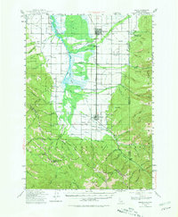
1943 Map of Driggs
USGS Topo · Published 1981About this map
The Union Pacific railroad corridor serves as the industrial spine for the Teton Valley in this mid-century survey, linking the agricultural settlements of Driggs and Victor. The valley floor is a complex network of water management, evidenced by the Foster Slough and various canals that divert from the Teton River. This rural landscape is heavily defined by its civic infrastructure, with small community centers established at locations like the Bates Sch, Chapin Sch, and Cedron Sch, alongside the Darby Ch.
Find a feature on this map
85 named features on this map. Tap any name to fly to it.
Don’t see what you’re looking for? This feature index may not catch every label — zoom into the map to look around manually.
Map Details
Editions of this 1943 Driggs Map
3 editions found
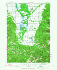
Other maps of this area

1899 · Grand Teton
USGS Topo · 1:125,000

1901 · Grand Teton
USGS Topo · 1:125,000

1931 · Jackson
USGS Topo · 1:125,000

1932 · Irwin
USGS Topo · 1:96,000

1935 · Irwin
USGS Topo · 1:125,000

1935 · Jackson
USGS Topo · 1:125,000

1943 · Driggs
USGS Topo · 1:62,500

1943 · Garns Mtn
USGS Topo · 1:62,500

1946 · Driggs
USGS Topo · 1:62,500

1946 · Garns Mtn
USGS Topo · 1:62,500