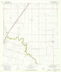
1969 Map of Driscoll East
USGS Topo · Published 1977About this map
The Clara Driscoll Oil Field and the Minnie Bock Oil Field dominate this Nueces County landscape, illustrating the intensive petroleum production that shaped the region during the late 1960s. The landscape is a network of pipelines, gas wells, and access roads, punctuated by the central path of the Missouri Pacific railroad. Amidst this industrial footprint, the meandering Petronila Creek provides a natural contrast, with the small settlement of Petronila and the Flinn Cem located near its banks.
Find a feature on this map
19 named features on this map. Tap any name to fly to it.
Don’t see what you’re looking for? This feature index may not catch every label — zoom into the map to look around manually.
Map Details
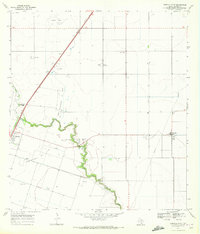
Editions of this 1969 Driscoll East Map
2 editions found
Other maps of this area

1924 · Petronilla
USGS Topo · 1:62,500

1925 · Robstown
USGS Topo · 1:62,500

1950 · Corpus Christi
USGS Topo · 1:250,000

1954 · Orange Grove
USGS Topo · 1:62,500

1954 · Robstown
USGS Topo · 1:62,500

1954 · Kingsville
USGS Topo · 1:62,500

1954 · Petronila
USGS Topo · 1:62,500

1956 · Corpus Christi
USGS Topo · 1:250,000

1960 · Corpus Christi
USGS Topo · 1:250,000

1966 · Corpus Christi
USGS Topo · 1:250,000