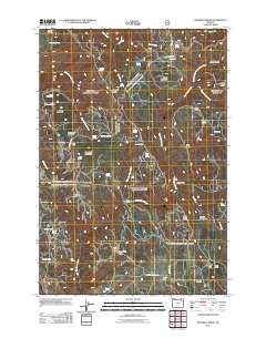
2011 Map of Drumhill Ridge
USGS Topo · Published 2011About this map
Wilbur Mountain and Spring Mountain dominate the northwestern reaches of this high-elevation terrain, where dozens of named springs feed into the drainage basins of East Meacham Creek and Five Points Creek. The landscape is a network of ridges and flats, including Drumhill Ridge and the ominously named Fiddlers Hell. Evidence of forest management and early recreation is found at sites such as Camp Three, Camp One, and Kellers Cabin. The distribution of natural water sources like Sacajawea Spring and Indian Spring highlights the area's importance for local grazing or timber activities. Moving south toward Dixie Flat, the map traces forest roads like Mount Emily Rd and Hamilton Canyon Rd, providing a detailed view of the corridor between Sugarloaf Mountain and the headwaters of Little John Day Creek.
Find a feature on this map
58 named features on this map. Tap any name to fly to it.
Don’t see what you’re looking for? This feature index may not catch every label — zoom into the map to look around manually.
Map Details
Editions of this 2011 Drumhill Ridge Map
This is the sole edition of this map. No revisions or reprints were ever made.
Other maps of this area

1953 · Pendleton
USGS Topo · 1:250,000

1956 · Pendleton
USGS Topo · 1:250,000

1963 · La Grande SE
USGS Topo · 1:24,000

1963 · Sanderson Spring
USGS Topo · 1:24,000

1963 · Hilgard
USGS Topo · 1:24,000

1963 · Summerville
USGS Topo · 1:24,000

1964 · Duncan
USGS Topo · 1:24,000

1964 · Thimbleberry Mtn
USGS Topo · 1:24,000

1964 · Huron
USGS Topo · 1:24,000

1964 · Drumhill Ridge
USGS Topo · 1:24,000