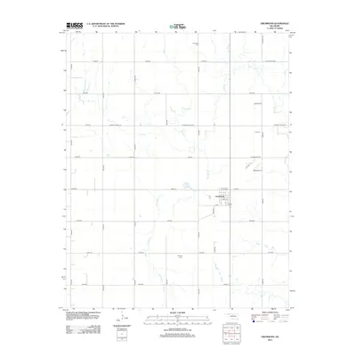
2012 Map of Drummond
USGS Topo · Published 2012About this map
Drummond serves as the central hub of this agricultural landscape in Garfield County, positioned at the intersection of local routes including Cheyenne St and Osage St. The surrounding countryside is defined by a grid of rural roads and the winding paths of Turkey Cr and Dry Salt Cr. This drainage network, which also includes Elm Cr and Clear Cr, illustrates the natural irrigation patterns essential to the region's farming heritage. Genealogists and local historians will find significant value in the placement of several community burial sites scattered throughout the township, including Sunnyside Cem to the north, Imo Cem to the east, and Delnorte Cem to the south. The prevalence of names like W Wheat Capital Rd and W Longhorn Trl reflects the enduring cultural and economic ties to Oklahoma's ranching and wheat industries.
Find a feature on this map
34 named features on this map. Tap any name to fly to it.
Don’t see what you’re looking for? This feature index may not catch every label — zoom into the map to look around manually.
Map Details
Editions of this 2012 Drummond Map
This is the sole edition of this map. No revisions or reprints were ever made.
Other maps of this area

1893 · Hennessey
USGS Topo · 1:62,500

1893 · Ames
USGS Topo · 1:62,500

1955 · Enid West
USGS Topo · 1:24,000

1955 · Enid
USGS Topo · 1:250,000

1955 · Woodward
USGS Topo · 1:250,000

1956 · Ames
USGS Topo · 1:62,500

1956 · Hennessey
USGS Topo · 1:62,500

1956 · Enid
USGS Topo · 1:62,500

1956 · Ringwood
USGS Topo · 1:62,500

1958 · Enid
USGS Topo · 1:250,000