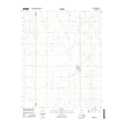
2016 Map of Drummond
USGS Topo · Published 2016About this map
Drummond sits at the heart of this Garfield County landscape, a town defined by its grid of streets including Missouri Ave, Kansas Ave, and Broadway St. The surrounding plains are marked by a deep agricultural heritage, evidenced by the regional naming of W Wheat Capital Rd. This 2016 survey captures a rural network of section-line roads like Banner Rd and Stabe Rd that crisscross the terrain between several prominent watercourses. The drainage patterns of Turkey Cr, Dry Salt Cr, and Elm Cr carve subtle variations into the landscape, while the western edge of the sheet follows the political boundary of Major Co Garfield Co. For genealogists, the map is a vital resource for locating rural burials at Sunnyside Cem, Imo Cem, and Delnorte Cem, which serve as quiet landmarks among the expansive fields.
Find a feature on this map
38 named features on this map. Tap any name to fly to it.
Don’t see what you’re looking for? This feature index may not catch every label — zoom into the map to look around manually.
Map Details
Editions of this 2016 Drummond Map
This is the sole edition of this map. No revisions or reprints were ever made.
Other maps of this area

1893 · Hennessey
USGS Topo · 1:62,500

1893 · Ames
USGS Topo · 1:62,500

1955 · Enid West
USGS Topo · 1:24,000

1955 · Enid
USGS Topo · 1:250,000

1955 · Woodward
USGS Topo · 1:250,000

1956 · Ames
USGS Topo · 1:62,500

1956 · Hennessey
USGS Topo · 1:62,500

1956 · Enid
USGS Topo · 1:62,500

1956 · Ringwood
USGS Topo · 1:62,500

1958 · Enid
USGS Topo · 1:250,000