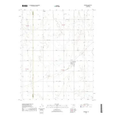
2018 Map of Drummond
USGS Topo · Published 2018About this map
The town of Lahoma anchors the northern boundary of this central Oklahoma landscape, where the agricultural grid meets the winding courses of Turkey Cr and Elm Cr. To the south, the settlement of Drummond sits at the intersection of Oklahoma St and Kansas Ave, serving as a local hub for the surrounding township. The map documents a predominantly rural environment defined by the county line between Major Co and Garfield Co, marked by Banner Rd. Genealogists and local historians will find several burial sites preserved across the section lines, including Sunnyside Cem, Imo Cem, and Delnorte Cem. The terrain is shaped by numerous seasonal and perennial waterways like Dry Salt Cr and Clear Cr, which interrupt the orderly network of section roads such as W Wheat Capital Rd and Skeleton Rd.
Find a feature on this map
40 named features on this map. Tap any name to fly to it.
Don’t see what you’re looking for? This feature index may not catch every label — zoom into the map to look around manually.
Map Details
Editions of this 2018 Drummond Map
This is the sole edition of this map. No revisions or reprints were ever made.
Other maps of this area

1893 · Hennessey
USGS Topo · 1:62,500

1893 · Ames
USGS Topo · 1:62,500

1955 · Enid West
USGS Topo · 1:24,000

1955 · Enid
USGS Topo · 1:250,000

1955 · Woodward
USGS Topo · 1:250,000

1956 · Ames
USGS Topo · 1:62,500

1956 · Hennessey
USGS Topo · 1:62,500

1956 · Enid
USGS Topo · 1:62,500

1956 · Ringwood
USGS Topo · 1:62,500

1958 · Enid
USGS Topo · 1:250,000