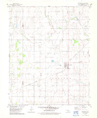
1982 Map of Drummond
USGS Topo · Published 1983About this map
Drummond serves as the primary hub in this portion of Garfield County, situated along the Burlington Northern railroad corridor. The surrounding landscape is defined by the widespread Oil and Gas Field, with numerous wells and a network of pipelines cutting across the sections. The terrain is drained by several waterways, including Turkey Creek, Elm Creek, and Dry Creek, which flow through a mix of agricultural land and industrial activity.
Find a feature on this map
23 named features on this map. Tap any name to fly to it.
Don’t see what you’re looking for? This feature index may not catch every label — zoom into the map to look around manually.
Map Details
Editions of this 1982 Drummond Map
This is the sole edition of this map. No revisions or reprints were ever made.
Other maps of this area

1893 · Hennessey
USGS Topo · 1:62,500

1893 · Ames
USGS Topo · 1:62,500

1955 · Enid West
USGS Topo · 1:24,000

1955 · Enid
USGS Topo · 1:250,000

1955 · Woodward
USGS Topo · 1:250,000

1956 · Ames
USGS Topo · 1:62,500

1956 · Hennessey
USGS Topo · 1:62,500

1956 · Enid
USGS Topo · 1:62,500

1956 · Ringwood
USGS Topo · 1:62,500

1958 · Enid
USGS Topo · 1:250,000