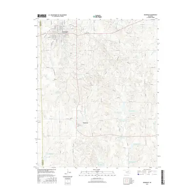
2016 Map of Drumright
USGS Topo · Published 2016About this map
Drumright and Shamrock anchor this survey of the Oklahoma oil patch region, where the landscape is defined by an extensive network of water management sites. The upper reaches of Little Deep Fork Cr Site 5 Reservoir and numerous numbered reservoirs, ranging from Site 10 to Site 16, trace the drainages across the terrain. These man-made features highlight the engineering required to manage the waterways that feed into Tiger Creek and Paleacat Cr.
Find a feature on this map
88 named features on this map. Tap any name to fly to it.
Don’t see what you’re looking for? This feature index may not catch every label — zoom into the map to look around manually.
Map Details
Editions of this 2016 Drumright Map
This is the sole edition of this map. No revisions or reprints were ever made.
Other maps of this area

1901 · Nuyaka
USGS Topo · 1:125,000

1912 · Hominy
USGS Topo · 1:125,000

1915 · Hominy
USGS Topo · 1:125,000

1916 · Bristow
USGS Topo · 1:62,500

1929 · Yale
USGS Topo · 1:62,500

1931 · Drumright
USGS Topo · 1:62,500

1932 · Yale
USGS Topo · 1:62,500

1954 · Oklahoma City
USGS Topo · 1:250,000

1955 · Enid
USGS Topo · 1:250,000

1957 · Oklahoma City
USGS Topo · 1:250,000