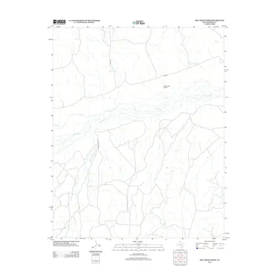
2012 Map of Dry Creek North
USGS Topo · Published 2012About this map
The Canadian River cuts through the center of this Roberts County landscape, creating a complex network of drainage basins and named canyons. Remote ranching infrastructure is the primary human footprint, visible in the alignment of Reynolds Ranch Rd and Wilson Rd as they navigate the breaks above the river. The area's hydrology is marked by several seasonal tributaries, including Tallahone Cr, Pats Cr, and Dry Cr, which feed into the main river channel from the surrounding high plains.
Find a feature on this map
10 named features on this map. Tap any name to fly to it.
Don’t see what you’re looking for? This feature index may not catch every label — zoom into the map to look around manually.
Map Details
Editions of this 2012 Dry Creek North Map
This is the sole edition of this map. No revisions or reprints were ever made.
Other maps of this area

1954 · Perryton
USGS Topo · 1:250,000

1954 · Amarillo
USGS Topo · 1:250,000

1958 · Perryton
USGS Topo · 1:250,000

1958 · Amarillo
USGS Topo · 1:250,000

1971 · Dry Creek South
USGS Topo · 1:24,000

1971 · Dry Creek SE
USGS Topo · 1:24,000

1971 · Dry Creek NE
USGS Topo · 1:24,000

1971 · Dry Creek North
USGS Topo · 1:24,000

1971 · Garden Springs
USGS Topo · 1:24,000

1971 · Adobe Creek SE
USGS Topo · 1:24,000