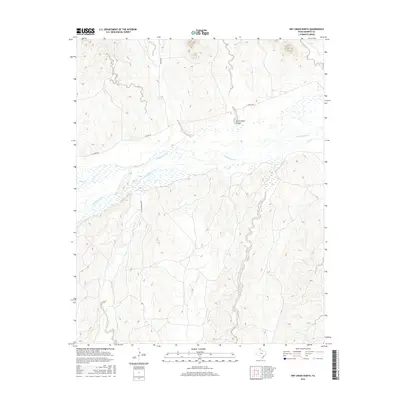
2016 Map of Dry Creek North
USGS Topo · Published 2016About this map
The Canadian River dominates this portion of Roberts County, carving a wide path through the Texas Panhandle landscape where several seasonal tributaries converge. This 2016 survey shows the confluence of Tallahone Creek, Pats Cr, and Dry Cr with the main river channel, highlighting the complex drainage patterns of the region. The map reveals the placement of localized water sources like Whitsell Springs and the distinct formation of Government Canyon, which provide essential landmarks in an area otherwise defined by high plains and occasional ranch access roads. Human infrastructure is primarily limited to transit, with routes like Reynolds Ranch Rd and N River Rd providing the only structured access through the drainage basins and over the rugged breaks of the Canadian River valley.
Find a feature on this map
12 named features on this map. Tap any name to fly to it.
Don’t see what you’re looking for? This feature index may not catch every label — zoom into the map to look around manually.
Map Details
Editions of this 2016 Dry Creek North Map
This is the sole edition of this map. No revisions or reprints were ever made.
Other maps of this area

1954 · Perryton
USGS Topo · 1:250,000

1954 · Amarillo
USGS Topo · 1:250,000

1958 · Perryton
USGS Topo · 1:250,000

1958 · Amarillo
USGS Topo · 1:250,000

1971 · Dry Creek South
USGS Topo · 1:24,000

1971 · Dry Creek SE
USGS Topo · 1:24,000

1971 · Dry Creek NE
USGS Topo · 1:24,000

1971 · Dry Creek North
USGS Topo · 1:24,000

1971 · Garden Springs
USGS Topo · 1:24,000

1971 · Adobe Creek SE
USGS Topo · 1:24,000