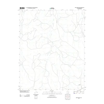
2012 Map of Dry Creek SE
USGS Topo · Published 2012About this map
Indian Cr and Chicken Cr define the drainage patterns of this Texas Panhandle landscape in Roberts County. This part of the High Plains is characterized by a network of ranching roads and aviation infrastructure rather than dense residential settlements. The southeastern corner is anchored by the Willis N Clark Airport, a small private airstrip situated near the junction of Clark Rd and Ranch Road 2699. These transportation arteries, including Ranch Road 283 and Payne Ranch Rd, trace the movement of livestock and people through a region where large-scale ranching remains the primary land use. The map illustrates the sparsely populated but vital infrastructure required to maintain the vast acreage of the Panhandle interior.
Find a feature on this map
7 named features on this map. Tap any name to fly to it.
Don’t see what you’re looking for? This feature index may not catch every label — zoom into the map to look around manually.
Map Details
Editions of this 2012 Dry Creek SE Map
This is the sole edition of this map. No revisions or reprints were ever made.
Other maps of this area

1954 · Amarillo
USGS Topo · 1:250,000

1958 · Amarillo
USGS Topo · 1:250,000

1971 · Dry Creek South
USGS Topo · 1:24,000

1971 · Dry Creek SE
USGS Topo · 1:24,000

1971 · Dry Creek NE
USGS Topo · 1:24,000

1971 · Dry Creek North
USGS Topo · 1:24,000

1971 · Pampa NW
USGS Topo · 1:24,000

1972 · Horse Creek North
USGS Topo · 1:24,000

1972 · Pampa NE
USGS Topo · 1:24,000

1972 · Miami
USGS Topo · 1:24,000