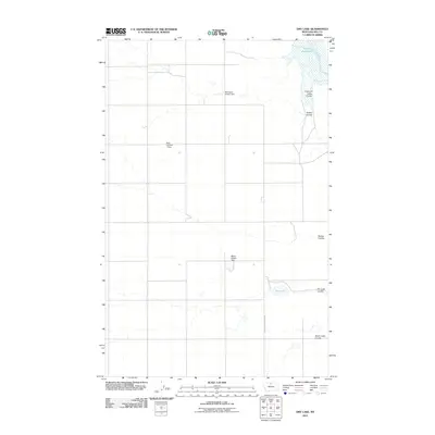
2011 Map of Dry Lake
USGS Topo · Published 2011About this map
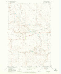
Fresno Reservoir dominates the northeastern corner of this Hill County landscape, where the Milk River flows through a series of complex drainages. The terrain is defined by its water management history, featuring several small-scale agricultural structures such as Pollington Coulee Dam, Blair Number 1 Dam, and the curiously named Mister Wipple Dam. These features suggest a landscape deeply tied to irrigation and livestock, vital in this part of Montana.
Find a feature on this map
12 named features on this map. Tap any name to fly to it.
Don’t see what you’re looking for? This feature index may not catch every label — zoom into the map to look around manually.
Map Details
Editions of this 2011 Dry Lake Map
This is the sole edition of this map. No revisions or reprints were ever made.
Other maps of this area

1906 · Kremlin
USGS Topo · 1:62,500

1920 · Gildford
USGS Topo · 1:125,000

1943 · Gildford
USGS Topo · 1:125,000

1954 · Shelby
USGS Topo · 1:250,000

1958 · Shelby
USGS Topo · 1:250,000
1969 · Sage Lake
USGS Topo · 1:24,000

1969 · Gildford NE
USGS Topo · 1:24,000
1969 · Kremlin
USGS Topo · 1:24,000
1969 · Saddle Butte
USGS Topo · 1:24,000
1969 · Gildford
USGS Topo · 1:24,000