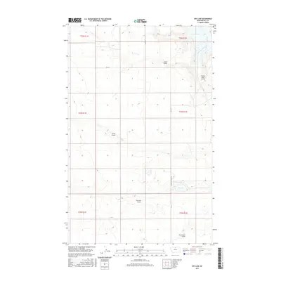
2017 Map of Dry Lake
USGS Topo · Published 2017About this map
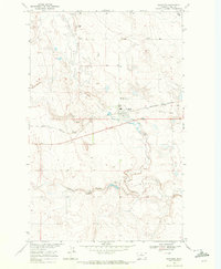
The Milk River and the southern reaches of the Fresno Reservoir anchor this 2017 survey of the Montana prairie. This is a landscape defined by its complex drainage patterns and seasonal water bodies, where numerous coulees have carved paths through the high plains. Features like Archie Coulee and Chain of Lakes Coulee illustrate the local topography, leading into the Milk River valley. To the south, the namesake Dry Lake and the nearby Alkali Lakes Coulee indicate the alkaline nature of many prairie basins. This region is sparsely settled, with the transportation network primarily consisting of grid-aligned routes such as Kremlin High Grade Rd, which facilitates movement between remote farmsteads and grazing lands.
Find a feature on this map
17 named features on this map. Tap any name to fly to it.
Don’t see what you’re looking for? This feature index may not catch every label — zoom into the map to look around manually.
Map Details
Editions of this 2017 Dry Lake Map
This is the sole edition of this map. No revisions or reprints were ever made.
Other maps of this area

1906 · Kremlin
USGS Topo · 1:62,500

1920 · Gildford
USGS Topo · 1:125,000

1943 · Gildford
USGS Topo · 1:125,000

1954 · Shelby
USGS Topo · 1:250,000

1958 · Shelby
USGS Topo · 1:250,000
1969 · Sage Lake
USGS Topo · 1:24,000

1969 · Gildford NE
USGS Topo · 1:24,000
1969 · Kremlin
USGS Topo · 1:24,000
1969 · Saddle Butte
USGS Topo · 1:24,000
1969 · Gildford
USGS Topo · 1:24,000