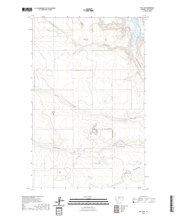
2024 Map of Dry Lake
USGS Topo · Published 2024About this map
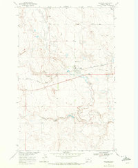
Milk River Valley Cem stands as a focal point for local history within this Montana landscape, situated near the meandering path of the Milk River. The terrain is defined by a complex network of seasonal drainages and coulees that trace the region's hydraulic character, including Archie Coulee in the north and Spring Coulee further south. These natural depressions dictate the rural road network, which includes the Kremlin High Grade Rd and several sectional routes like RD 265 N.
Find a feature on this map
17 named features on this map. Tap any name to fly to it.
Don’t see what you’re looking for? This feature index may not catch every label — zoom into the map to look around manually.
Map Details
Editions of this 2024 Dry Lake Map
This is the sole edition of this map. No revisions or reprints were ever made.
Other maps of this area

1906 · Kremlin
USGS Topo · 1:62,500

1920 · Gildford
USGS Topo · 1:125,000

1943 · Gildford
USGS Topo · 1:125,000

1954 · Shelby
USGS Topo · 1:250,000

1958 · Shelby
USGS Topo · 1:250,000
1969 · Sage Lake
USGS Topo · 1:24,000

1969 · Gildford NE
USGS Topo · 1:24,000
1969 · Kremlin
USGS Topo · 1:24,000
1969 · Saddle Butte
USGS Topo · 1:24,000
1969 · Gildford
USGS Topo · 1:24,000