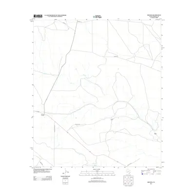
2012 Map of Dryden
USGS Topo · Published 2012About this map
Dryden sits as a primary junction in this expansive corner of Terrell County, where a network of ranch roads and desert tracks radiates across the Trans-Pecos landscape. The settlement of Shaw and the Goodwin Ranch represent the sparse but vital human imprint on this arid terrain. Seasonal drainages such as Buck Cr and Magoy Cr carve subtle pathways through the topography, dictating the placement of historic routes like Shafter Crossing Rd and Vain Cleave Rd. These roads suggest a long-standing ranching economy where movement was tied to the contours of the land and the location of water sources. The map provides a clear record of the transportation infrastructure that sustains these remote Texas communities, from Odom Rd in the north to Rock House Rd in the south.
Find a feature on this map
13 named features on this map. Tap any name to fly to it.
Don’t see what you’re looking for? This feature index may not catch every label — zoom into the map to look around manually.
Map Details
Editions of this 2012 Dryden Map
This is the sole edition of this map. No revisions or reprints were ever made.
Other maps of this area

1918 · Dryden Crossing
USGS Topo · 1:62,500

1928 · Sanderson
USGS Topo · 1:125,000

1943 · Malvado
USGS Topo · 1:62,500

1944 · Malvado
USGS Topo · 1:62,500

1954 · Fort Stockton
USGS Topo · 1:250,000

1954 · Sonora
USGS Topo · 1:250,000

1958 · Sonora
USGS Topo · 1:250,000

1958 · Fort Stockton
USGS Topo · 1:250,000

1958 · Del Rio
USGS Topo · 1:250,000

1959 · Emory Peak
USGS Topo · 1:250,000