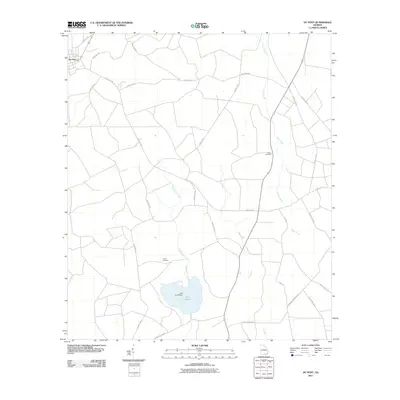
2011 Map of Du Pont
USGS Topo · Published 2011About this map
Du Pont sits at the northwest corner of this Clinch County landscape, serving as the primary hub for a network of rural roads that crisscross the low-lying terrain of southern Georgia. The geography is defined by slow-moving water and expansive wetlands, most notably the winding course of Jones Creek and the marshy reaches of Lees Bay. In the southern portion of the quadrangle, Sweetwater Creek feeds into Lake Verne, a significant water body held by the Lake Verne Dam. This survey documents a quiet, agrarian region where the placement of small burial grounds like Eason Cemetery and Dame Cemetery reflects the long-standing family settlements that have shaped the local history. Numerous named routes, such as Woodyard Rd and Olive Leaf Rd, provide a framework for understanding the transit and timber-influenced economy of the area in the early 21st century.
Find a feature on this map
30 named features on this map. Tap any name to fly to it.
Don’t see what you’re looking for? This feature index may not catch every label — zoom into the map to look around manually.
Map Details
Editions of this 2011 Du Pont Map
This is the sole edition of this map. No revisions or reprints were ever made.
Other maps of this area

1953 · Waycross
USGS Topo · 1:250,000

1954 · Valdosta
USGS Topo · 1:250,000

1958 · Valdosta
USGS Topo · 1:250,000

1958 · Waycross
USGS Topo · 1:250,000

1959 · Valdosta
USGS Topo · 1:250,000

1968 · Homerville East
USGS Topo · 1:24,000

1968 · Midway
USGS Topo · 1:24,000

1968 · Headlight
USGS Topo · 1:24,000

1971 · Thelma
USGS Topo · 1:24,000

1971 · Du Pont
USGS Topo · 1:24,000