2024 Map of Du Pont
USGS Topo · Published 2024About this map
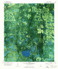
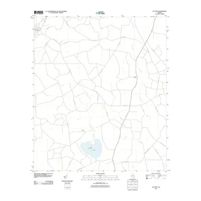
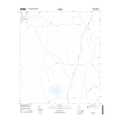
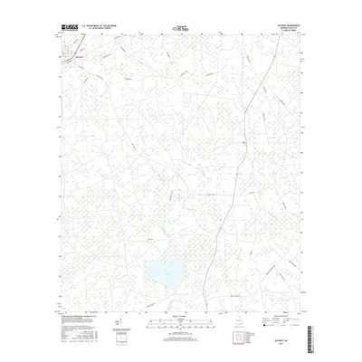
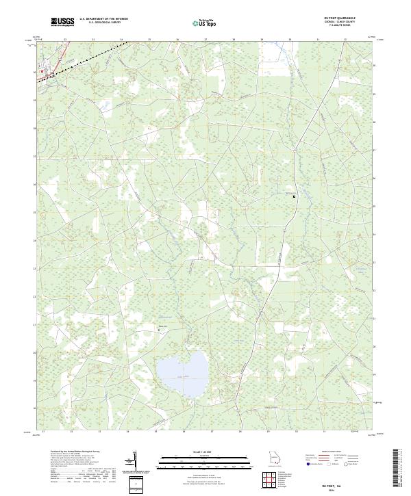
The town of Du Pont sits in the northwest corner of this Georgia landscape, serving as a focal point for a network of rural roads that stretch across the Clinch County pine and wetlands. The geography is defined by a series of shallow depressions and wetland basins known locally as bays, including Whitehead Bay, Green Bay, and Schoolhouse Bay. These features, alongside Lake Verne, suggest a landscape shaped by high water tables and slow-moving drainage systems typical of the region.
Find a feature on this map
36 named features on this map. Tap any name to fly to it.
Don’t see what you’re looking for? This feature index may not catch every label — zoom into the map to look around manually.
Map Details
Editions of this 2024 Du Pont Map
This is the sole edition of this map. No revisions or reprints were ever made.
Historical Maps of Du Pont Through Time
6 maps found