
2010 Map of Duart
USGS Topo · Published 2010About this map
The Cape Fear River snakes through this North Carolina landscape, serving as a primary geographic anchor for small riverside communities like Tolar Landing and Prospect Hall Landing. The interior reveals a pattern of rural settlements and agricultural holdings, with names like Duart, Tobermory, and Elease marking local hubs. Water management is a defining feature of the area's development, evidenced by the infrastructure at Marsh Wood Lake Dam, Pages Lake Dam, and Verdery Pond Dam. For those researching family history, the map preserves the locations of several burial grounds, including the Cogdell Cemetery and Willis Creek Cemetery. To the south and west, the terrain transitions into the dense, hydrologically complex environments of Goodman Swamp and Gallberry Swamp, highlighting the interplay between the region's habitable land and its natural wetlands.
Find a feature on this map
67 named features on this map. Tap any name to fly to it.
Don’t see what you’re looking for? This feature index may not catch every label — zoom into the map to look around manually.
Map Details
Editions of this 2010 Duart Map
This is the sole edition of this map. No revisions or reprints were ever made.
Other maps of this area

1953 · Florence
USGS Topo · 1:250,000

1954 · Florence
USGS Topo · 1:250,000

1955 · Elizabethtown
USGS Topo · 1:62,500

1957 · Bladenboro
USGS Topo · 1:62,500

1959 · Roseboro
USGS Topo · 1:62,500

1959 · Saint Pauls
USGS Topo · 1:62,500

1982 · Elizabethtown
USGS Topo · 1:100,000

1986 · Tar Heel
USGS Topo · 1:24,000
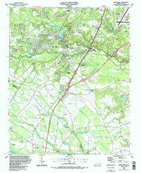
1986 · Hope Mills
USGS Topo · 1:24,000
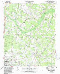
1986 · Northeast Lumberton
USGS Topo · 1:24,000