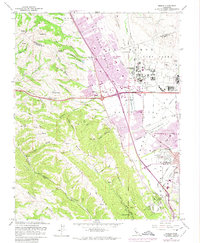
1961 Map of Dublin
USGS Topo · Published 1975About this map
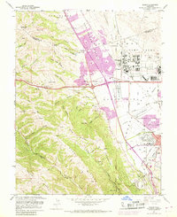
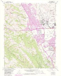
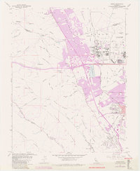
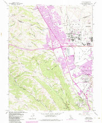
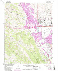
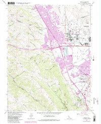
San Ramon Village and Dublin emerge as growing suburban centers in this mid-century topographic record, which documents the rapid transformation of the Amador Valley. While the western hills remain dominated by named canyons like Koopman Canyon and Hollis Canyon, the valley floor shows significant institutional and infrastructure development. The massive Camp Parks military reservation and the Santa Rita Rehabilitation Center occupy large tracts of land, while the Southern Pacific and Western Pacific railroads continue to shape the local transportation corridor. Local life is visible in the placement of the Murray Sch, the Drive-in Theater, and the Golf Course near the town center. The landscape is also defined by its hydrological network, including the Arroyo de la Laguna and Arroyo Mocho, which provided critical drainage for the developing settlements and the nearby USDA Plant Materials Center at the edge of Pleasanton.
Find a feature on this map
69 named features on this map. Tap any name to fly to it.
Don’t see what you’re looking for? This feature index may not catch every label — zoom into the map to look around manually.
Map Details
Editions of this 1961 Dublin Map
10 editions found
Other maps of this area

1896 · Mt. Diablo
USGS Topo · 1:62,500

1897 · Concord
USGS Topo · 1:62,500

1898 · Mt. Diablo
USGS Topo · 1:62,500

1899 · Haywards
USGS Topo · 1:62,500

1906 · Pleasanton
USGS Topo · 1:62,500

1915 · Haywards
USGS Topo · 1:62,500

1915 · Concord
USGS Topo · 1:62,500

1941 · Pleasanton
USGS Topo · 1:62,500

1942 · Concord
USGS Topo · 1:62,500

1942 · Hayward
USGS Topo · 1:62,500