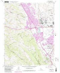
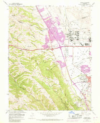
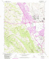
1961 Map of Dublin
USGS Topo · Published 1984About this map
Camp Parks and the sprawling Military Reservation dominate the central landscape of this 1961 survey, which captures the East Bay's rapid transition from a ranching and rail corridor into a modern suburban hub. The map highlights significant institutional footprints, including the Federal Youth Center, the Air Force Communication Annex, and the Santa Rita Rehabilitation Center. Purple revision tinting illustrates the 1980s expansion of Dublin, San Ramon Village, and Pleasanton, as residential tracts began to climb toward the Dougherty Hills.
Find a feature on this map
54 named features on this map. Tap any name to fly to it.
Don’t see what you’re looking for? This feature index may not catch every label — zoom into the map to look around manually.
Map Details
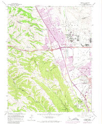
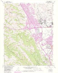
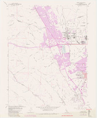
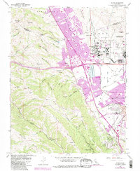
Editions of this 1961 Dublin Map
10 editions found
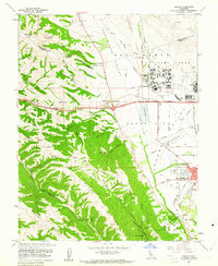
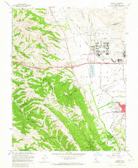
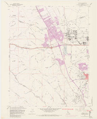
Other maps of this area

1896 · Mt. Diablo
USGS Topo · 1:62,500

1897 · Concord
USGS Topo · 1:62,500

1898 · Mt. Diablo
USGS Topo · 1:62,500

1899 · Haywards
USGS Topo · 1:62,500

1906 · Pleasanton
USGS Topo · 1:62,500

1915 · Haywards
USGS Topo · 1:62,500

1915 · Concord
USGS Topo · 1:62,500

1941 · Pleasanton
USGS Topo · 1:62,500

1942 · Concord
USGS Topo · 1:62,500

1942 · Hayward
USGS Topo · 1:62,500