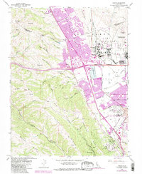
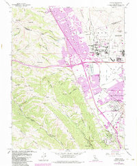
1961 Map of Dublin
USGS Topo · Published 1984About this map
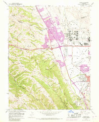
Camp Parks and the Santa Rita Military Reservation anchor the central valley of this East Bay landscape, reflecting a mid-century era of institutional and residential expansion. The map captures the rapid transformation of the Amador Valley as San Ramon Village and Komandorski Village emerge alongside traditional ranching terrain. This transition is marked by the presence of suburban infrastructure like the Drive-in Theater and numerous educational sites including Murray Sch and Brighton Sch.
Find a feature on this map
63 named features on this map. Tap any name to fly to it.
Don’t see what you’re looking for? This feature index may not catch every label — zoom into the map to look around manually.
Map Details
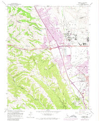
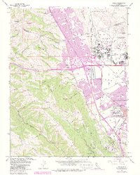
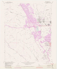
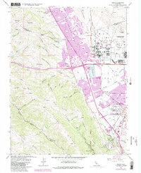
Editions of this 1961 Dublin Map
10 editions found
Other maps of this area

1896 · Mt. Diablo
USGS Topo · 1:62,500

1897 · Concord
USGS Topo · 1:62,500

1898 · Mt. Diablo
USGS Topo · 1:62,500

1899 · Haywards
USGS Topo · 1:62,500

1906 · Pleasanton
USGS Topo · 1:62,500

1915 · Haywards
USGS Topo · 1:62,500

1915 · Concord
USGS Topo · 1:62,500

1941 · Pleasanton
USGS Topo · 1:62,500

1942 · Concord
USGS Topo · 1:62,500

1942 · Hayward
USGS Topo · 1:62,500