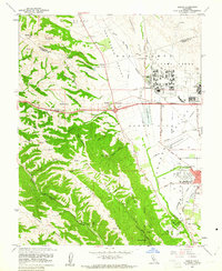
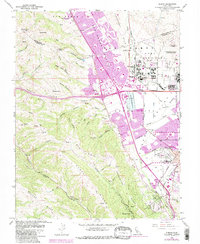
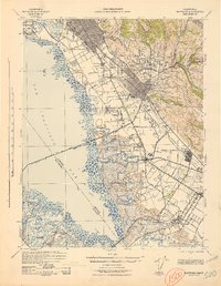
1961 Map of Dublin
USGS Topo · Published 1961About this map
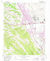
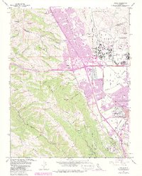
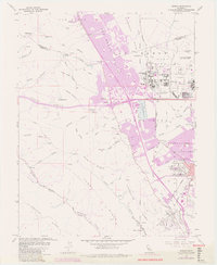
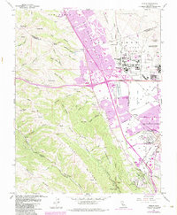
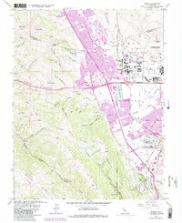
Camp Parks and the adjacent Military Reservation dominate the eastern valley floor of this 1961 survey, reflecting the era's significant defense footprint in the San Ramon Valley. To the north, Komandorski Village serves as a distinct housing landmark near the intersection of the Southern Pacific and the extensive regional road network. The landscape transitions sharply from the agricultural and military flats of Pleasanton and Dublin into the steep, canyon-cut ridges of the west.
Find a feature on this map
58 named features on this map. Tap any name to fly to it.
Don’t see what you’re looking for? This feature index may not catch every label — zoom into the map to look around manually.
Map Details
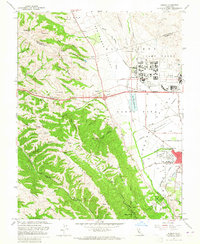
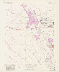
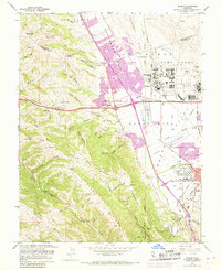
Editions of this 1961 Dublin Map
10 editions found
Other maps of this area

1896 · Mt. Diablo
USGS Topo · 1:62,500

1897 · Concord
USGS Topo · 1:62,500

1898 · Mt. Diablo
USGS Topo · 1:62,500
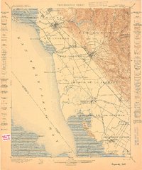
1899 · Haywards
USGS Topo · 1:62,500
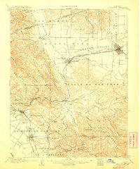
1906 · Pleasanton
USGS Topo · 1:62,500
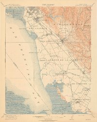
1915 · Haywards
USGS Topo · 1:62,500
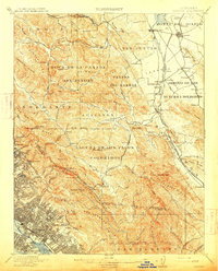
1915 · Concord
USGS Topo · 1:62,500
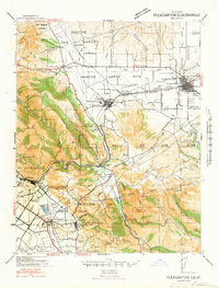
1941 · Pleasanton
USGS Topo · 1:62,500
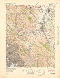
1942 · Concord
USGS Topo · 1:62,500
1942 · Hayward
USGS Topo · 1:62,500