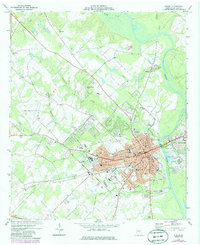
1974 Map of Dublin
USGS Topo · Published 1986About this map
The Oconee River serves as the primary geographic dividing line between Dublin and East Dublin, a region defined by its role as a regional hub for healthcare and transit in the mid-1970s. The presence of the large Veterans Hospital and Laurens Memorial Hospital underscores the city's importance as a medical center for Laurens County. The landscape is also heavily shaped by its rail history, featuring the tracks of the Seaboard Coast Line and Central of Georgia, alongside an Old Railroad Grade that speaks to earlier transportation networks.
Find a feature on this map
59 named features on this map. Tap any name to fly to it.
Don’t see what you’re looking for? This feature index may not catch every label — zoom into the map to look around manually.
Map Details
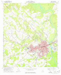
Editions of this 1974 Dublin Map
2 editions found
Other maps of this area

1957 · Macon
USGS Topo · 1:250,000

1958 · Macon
USGS Topo · 1:250,000

1964 · Macon
USGS Topo · 1:250,000

1974 · Cow Hell Swamp
USGS Topo · 1:24,000

1974 · Rentz
USGS Topo · 1:24,000

1974 · Dudley
USGS Topo · 1:24,000

1974 · East Dublin
USGS Topo · 1:24,000
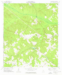
1974 · Nicklesville
USGS Topo · 1:24,000
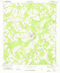
1974 · Dexter
USGS Topo · 1:24,000

1974 · Lovett
USGS Topo · 1:24,000