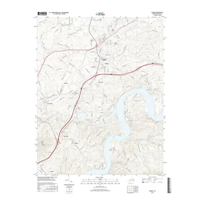
2016 Map of Dublin
USGS Topo · Published 2016About this map
Claytor Lake dominates the southern landscape, its intricate shoreline defined by numerous coves and the mouths of Peak Cr and Goose Cr. The terrain rises sharply to the west toward Draper Mtn and its prominent Peak Knob, while the northern portion of the quadrangle centers on the industrial and educational hub of Dublin. This area is home to the New River Community Coll and Burlington Mills, reflecting the region's modern economic character.
Find a feature on this map
152 named features on this map. Tap any name to fly to it.
Don’t see what you’re looking for? This feature index may not catch every label — zoom into the map to look around manually.
Map Details
Editions of this 2016 Dublin Map
This is the sole edition of this map. No revisions or reprints were ever made.
Other maps of this area

1889 · Hillsville
USGS Topo · 1:125,000

1890 · Dublin
USGS Topo · 1:125,000

1891 · Dublin
USGS Topo · 1:125,000

1892 · Hillsville
USGS Topo · 1:125,000

1896 · Hillsville
USGS Topo · 1:125,000

1930 · Max Meadows
USGS Topo · 1:62,500

1934 · Pulaski
USGS Topo · 1:48,000

1940 · Pulaski
USGS Topo · 1:62,500

1950 · Radford
USGS Topo · 1:62,500

1953 · Winston-Salem
USGS Topo · 1:250,000